Author: Jan Lehmann

Projects

Repetition of grass (Elymus athericus) monitoring

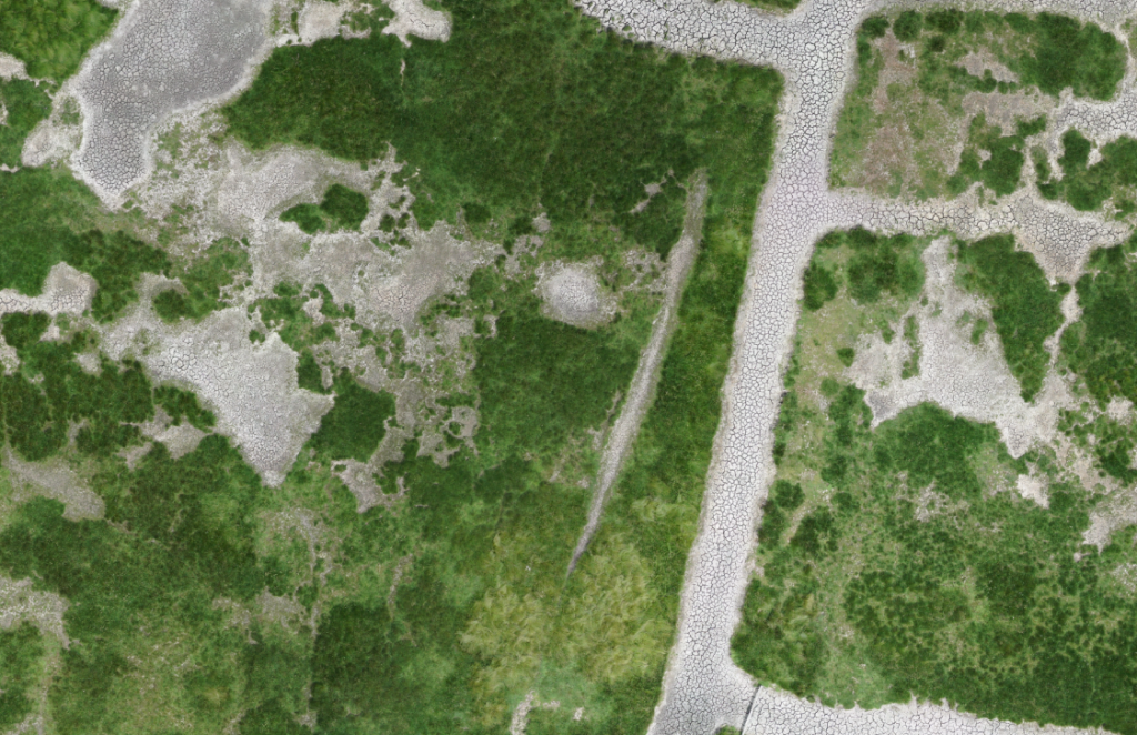
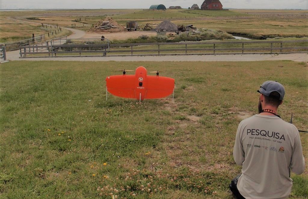
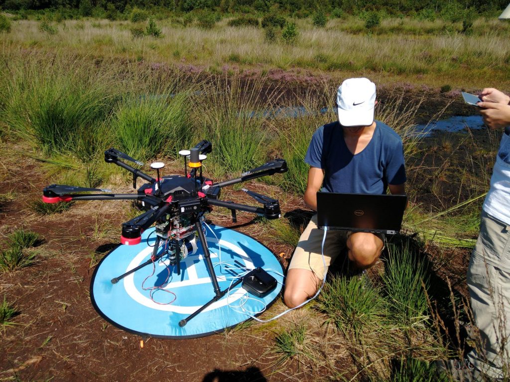
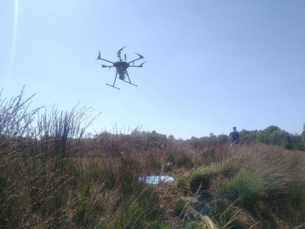
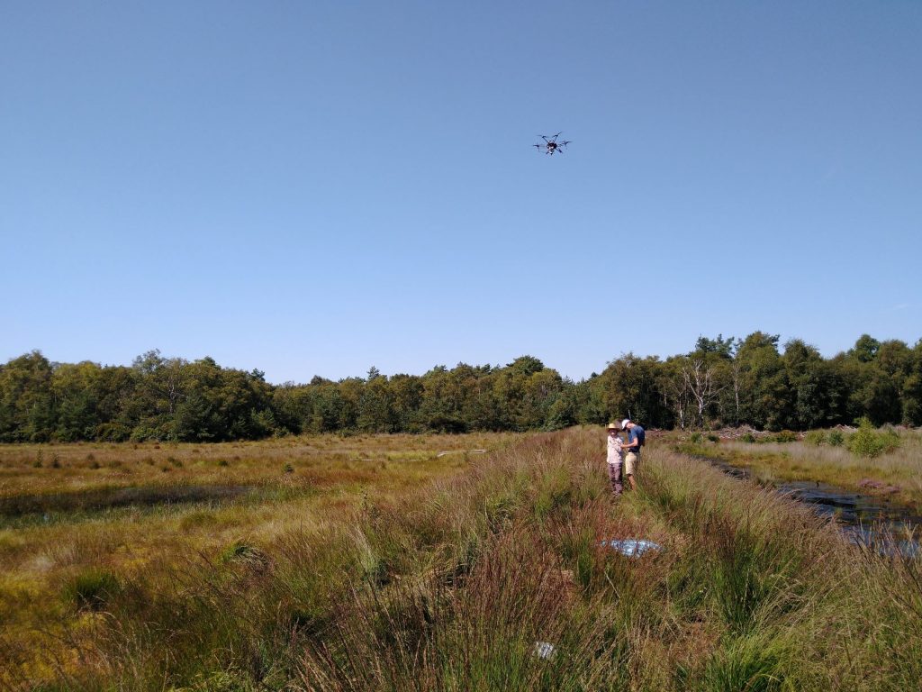
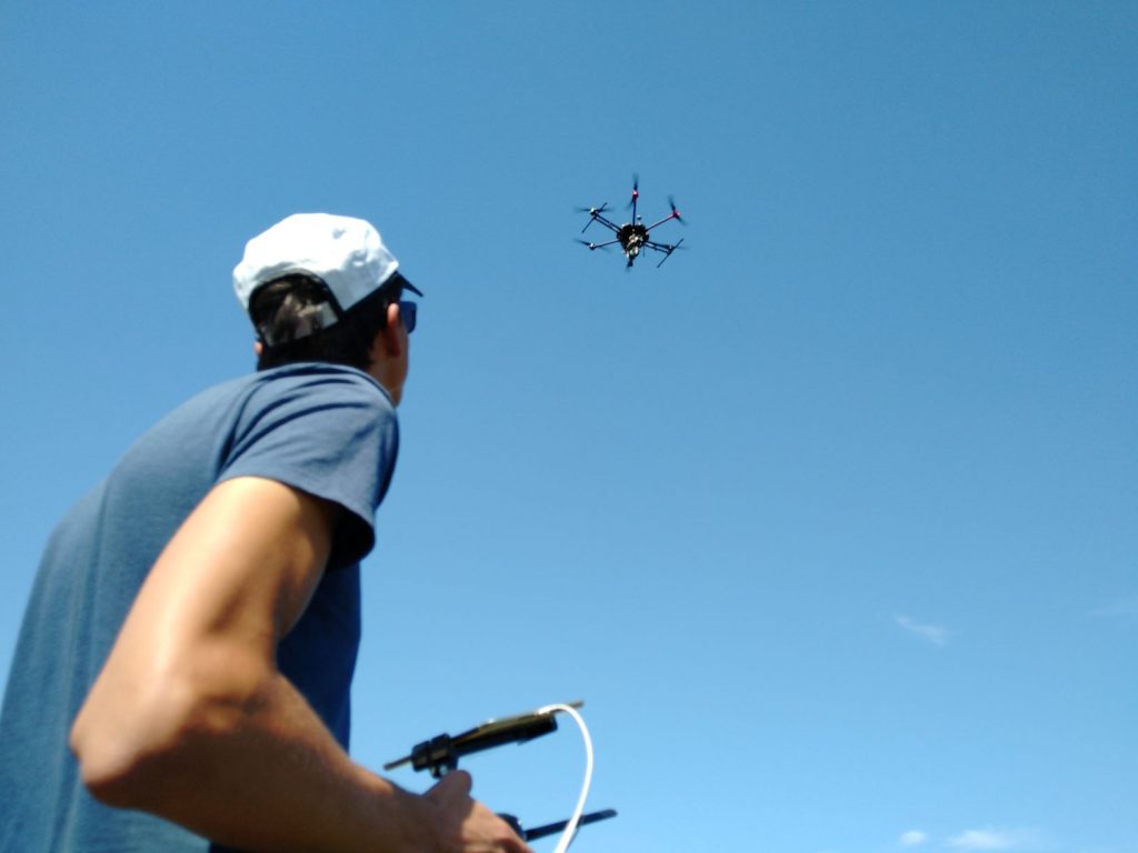
After two years, we repeated the flights for the Elymus athericus grass monitoring project using multispectral imaging data on the Hallig Nordstrandischmoor. The data will be compared with the 2019 classification results to quantify the spread of this grass species. For more information about our project please read the following open access publication:

Oldeland, J., Revermann, R., Luther-Mosebach, J. et al. New tools for old problems — comparing drone- and field-based assessments of a problematic plant species. Environ Monit Assess 193, 90 (2021). https://doi.org/10.1007/s10661-021-08852-2


Projects

Flight campaign on bird sanctuary islands

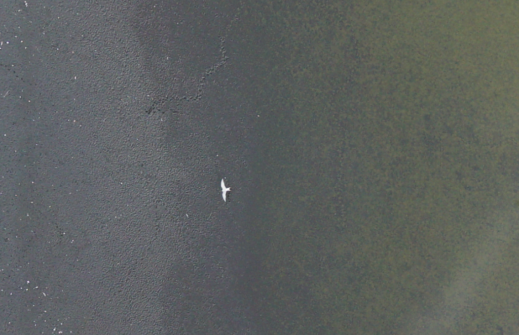
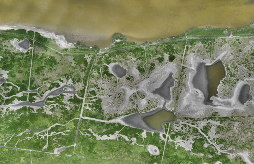
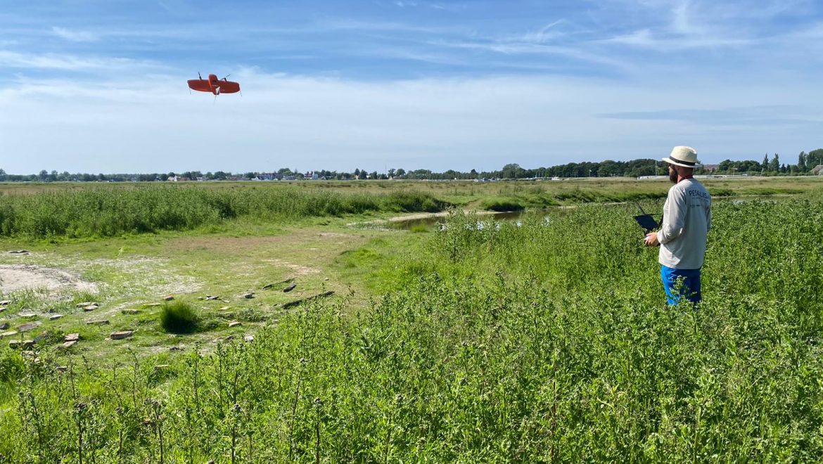
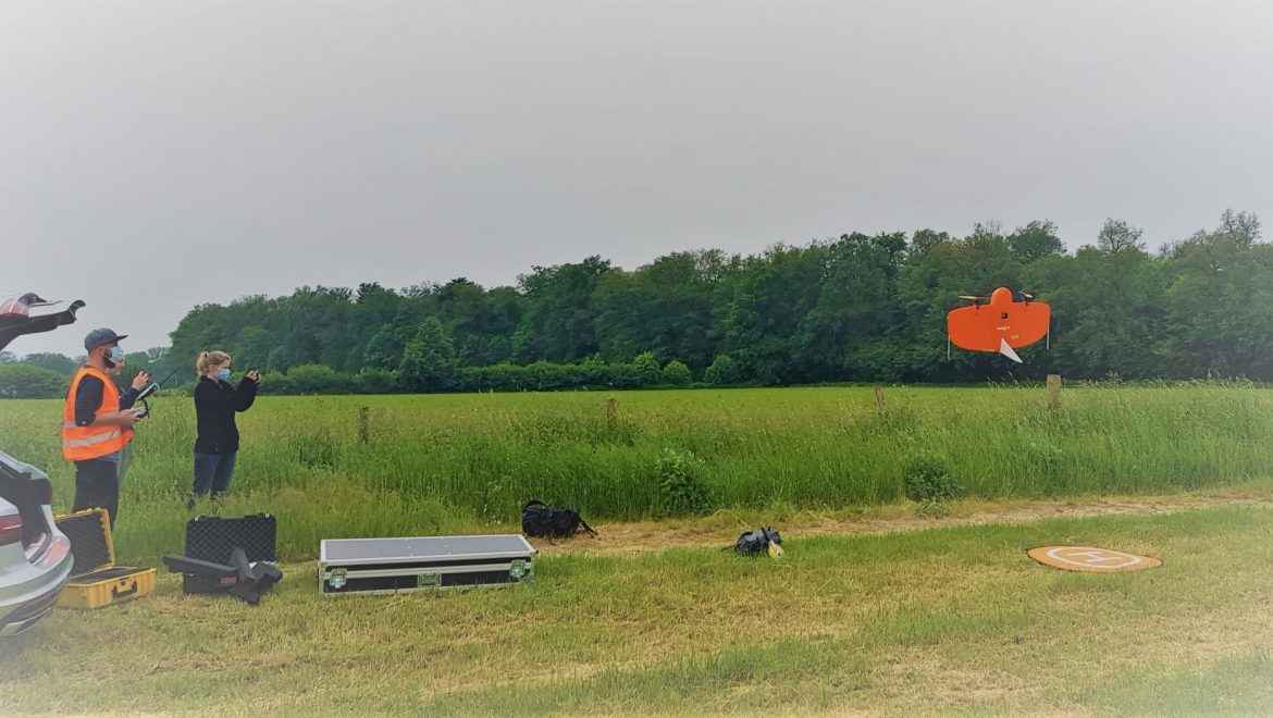
As part of a master thesis and a research project, Dr. Jan Lehmann and the students Candy Fahrenholz and Henning Schneidereit accomplished a field campaign in the national park “Western Pomerania Lagoon Area” from the 13th of June until the 17th of June. With special permits of the national park, which are needed because of strict flight and entry bans, and in close cooperation with the staff of the national park, the two bird sanctuary islands, including active breeding colonies, were mapped with the WingtraOne. A multispectral dataset with information of about 700 hectare was collected and the reaction of the birds towards the drone were observed.

The campaign did work out exceedingly well and now we are looking forward to analyse the dataset in aspects of vegetation and structure as well as for the inventory of breeding birds.
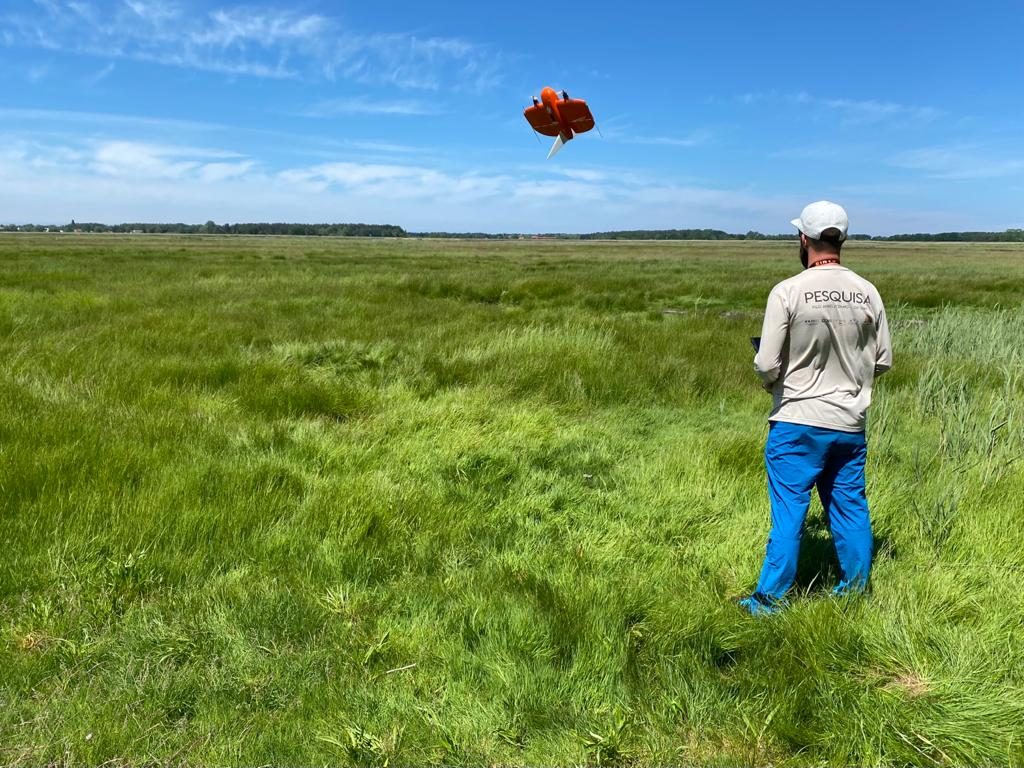
 

Take-Off
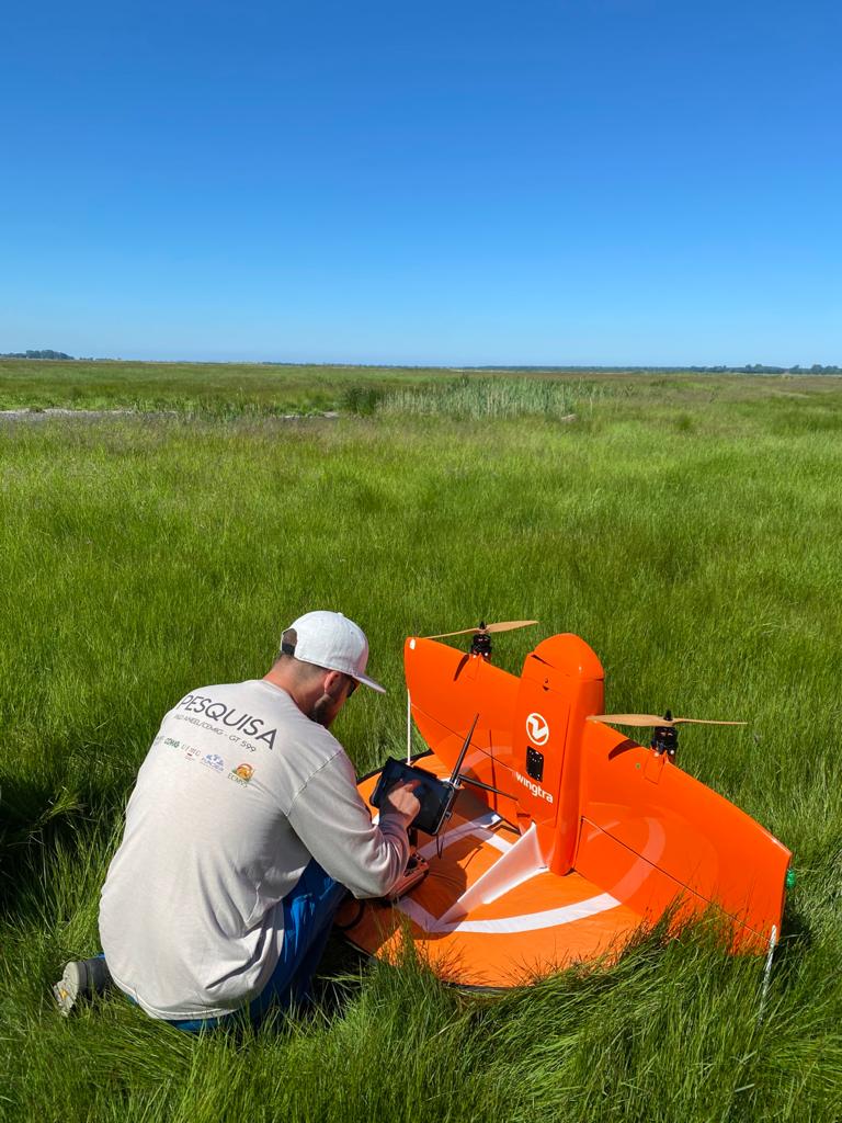
 

Pre-Flight Setup
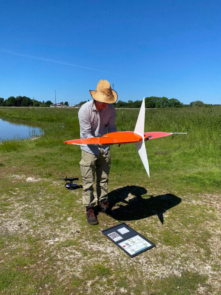
 

Taking calibration images
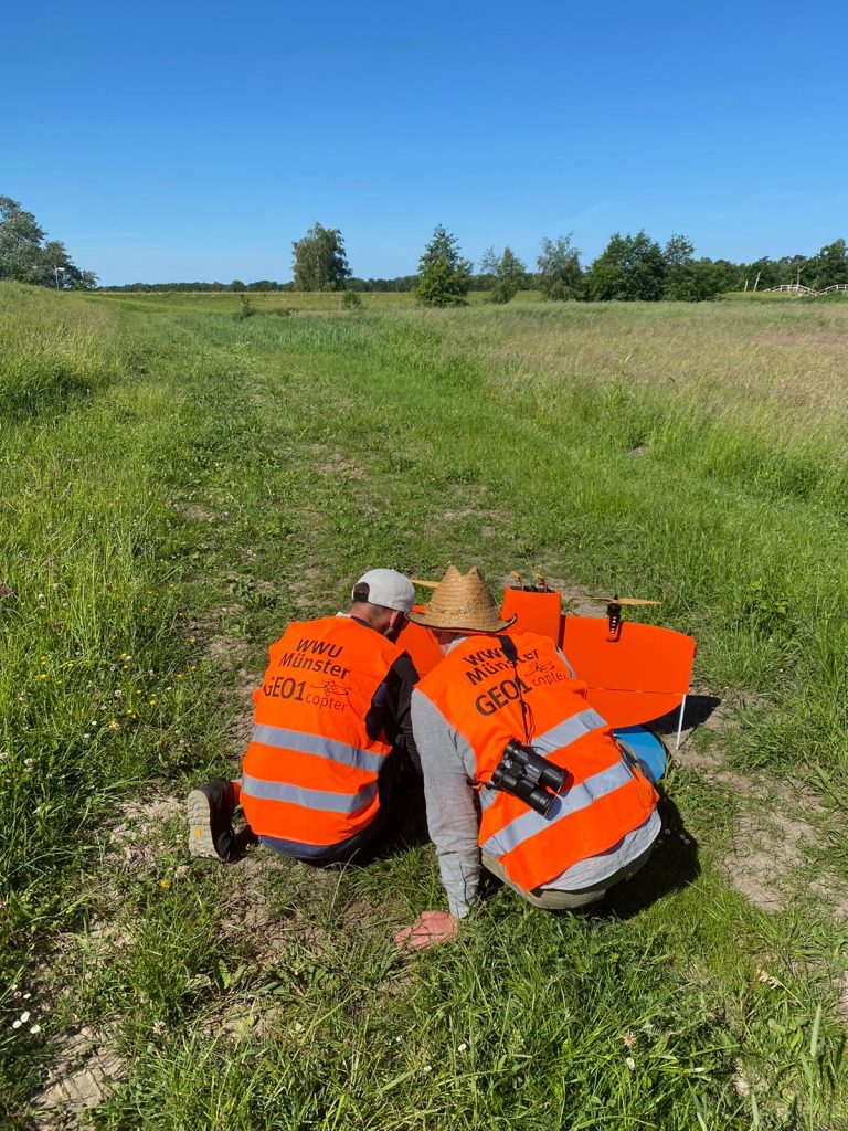
 

Checking our the data after successful flight
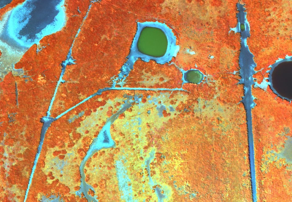
 

False-Color Imagery with 8cm GSD
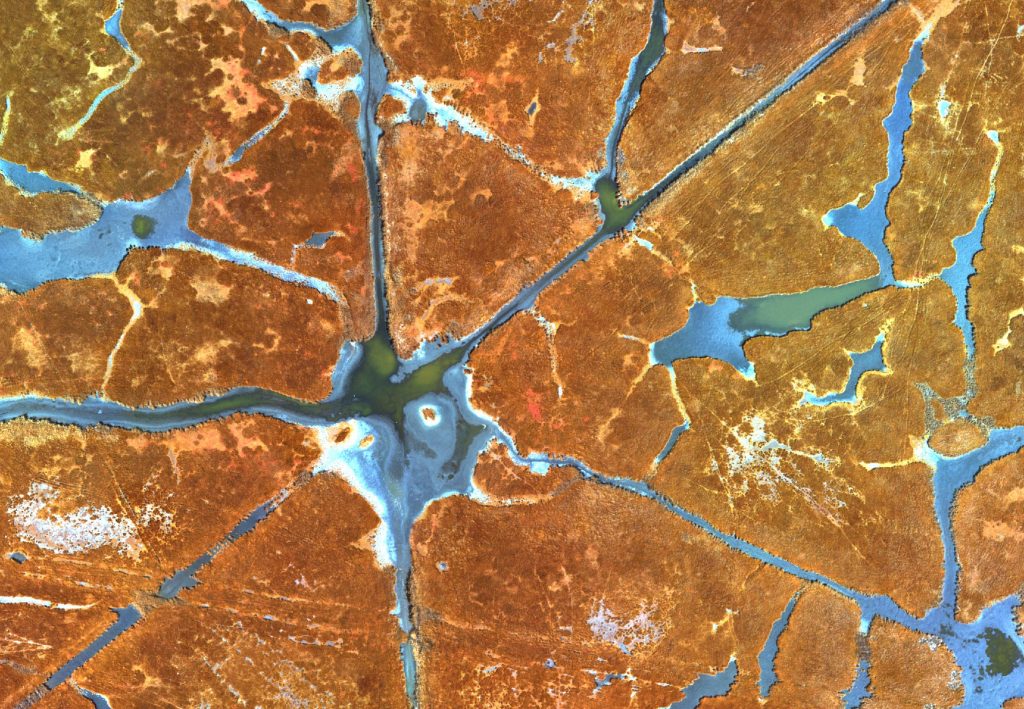
 

Beautiful pattern
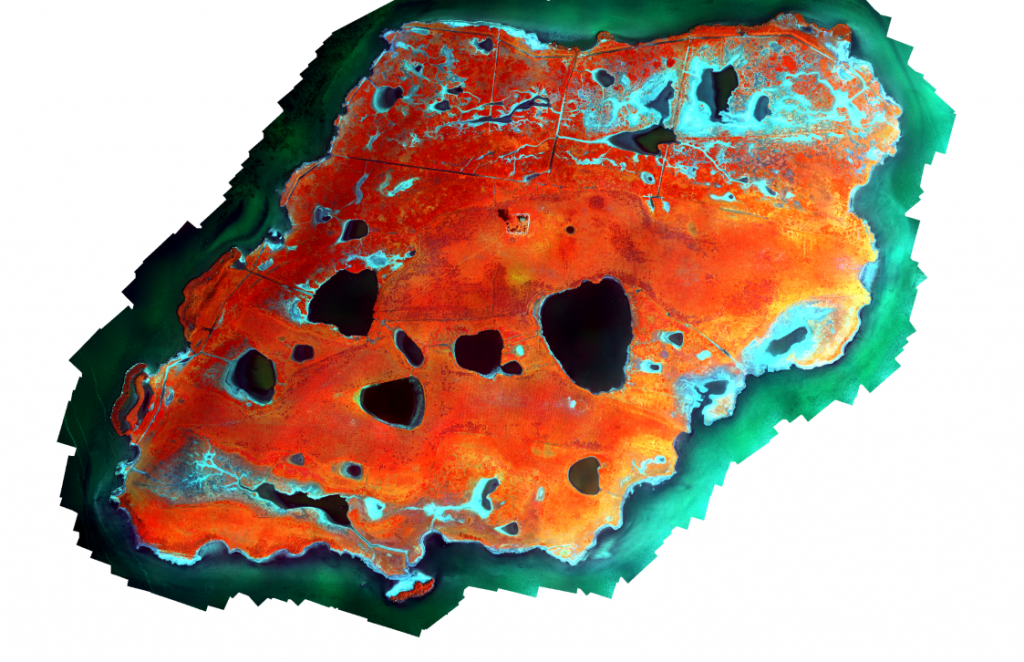
 

False-Color Orthomosaic of the Barther Oie
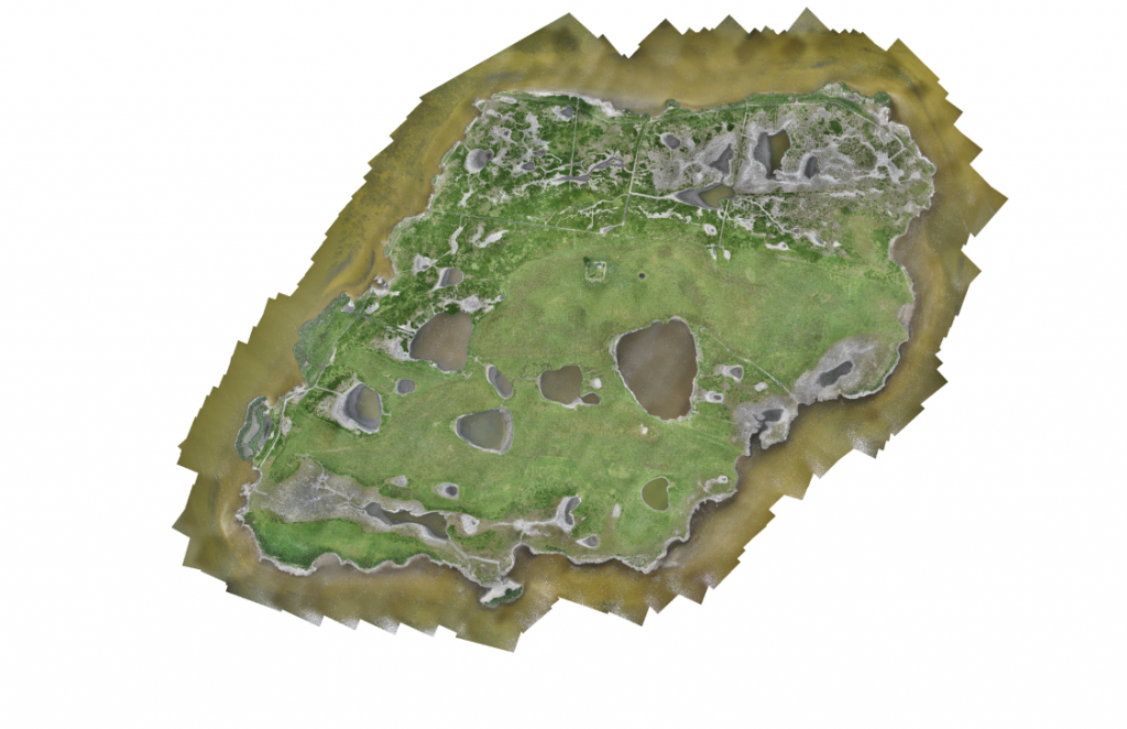
 

RGB Orthomosaic with 1.8cm GSD
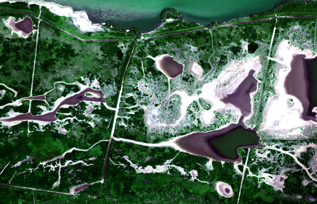


Birds (Terns) sitting relaxed on their nests
 

Very high-resolution for bird counting

General

New Thermal Sensor

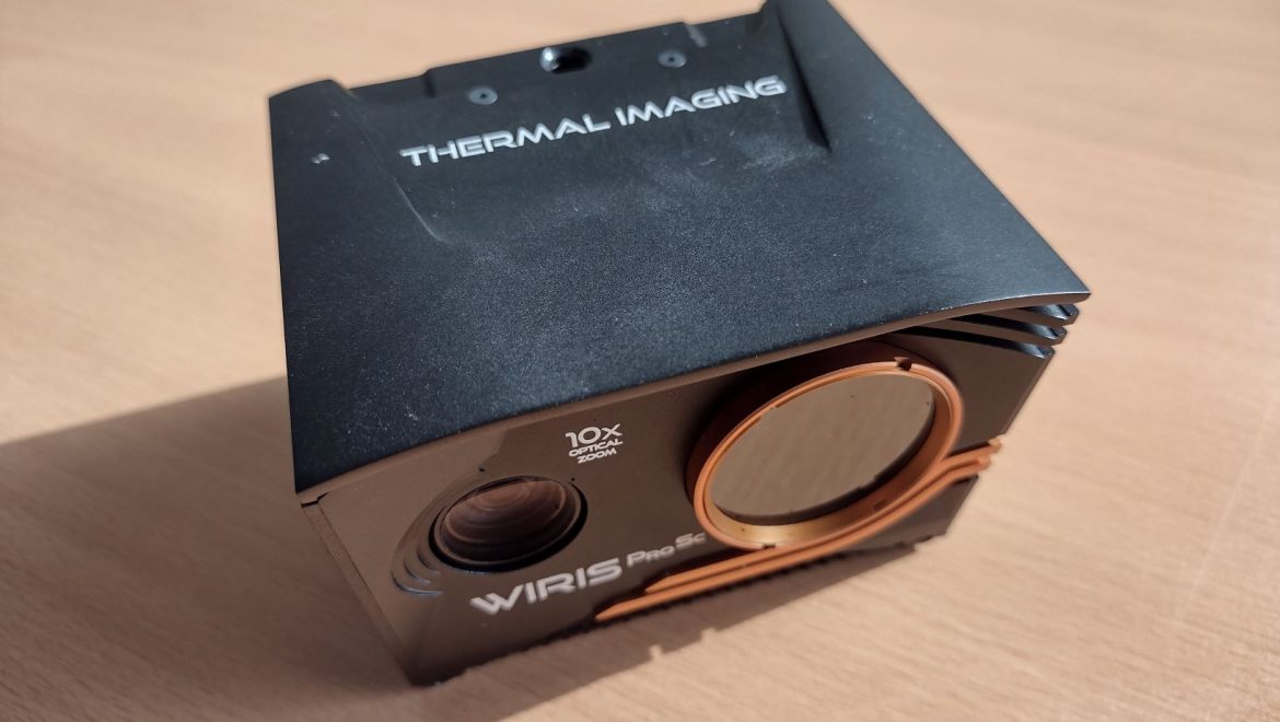
We have recently added a new thermal sensor from Workswell to our sensor inventory. The specifications of the WIRIS Pro SC sensor already sound very promising and we are curious about the first data sets. Among other things, the new sensor will be used for water monitoring, tracking of wildlife and forest stand monitoring.

General

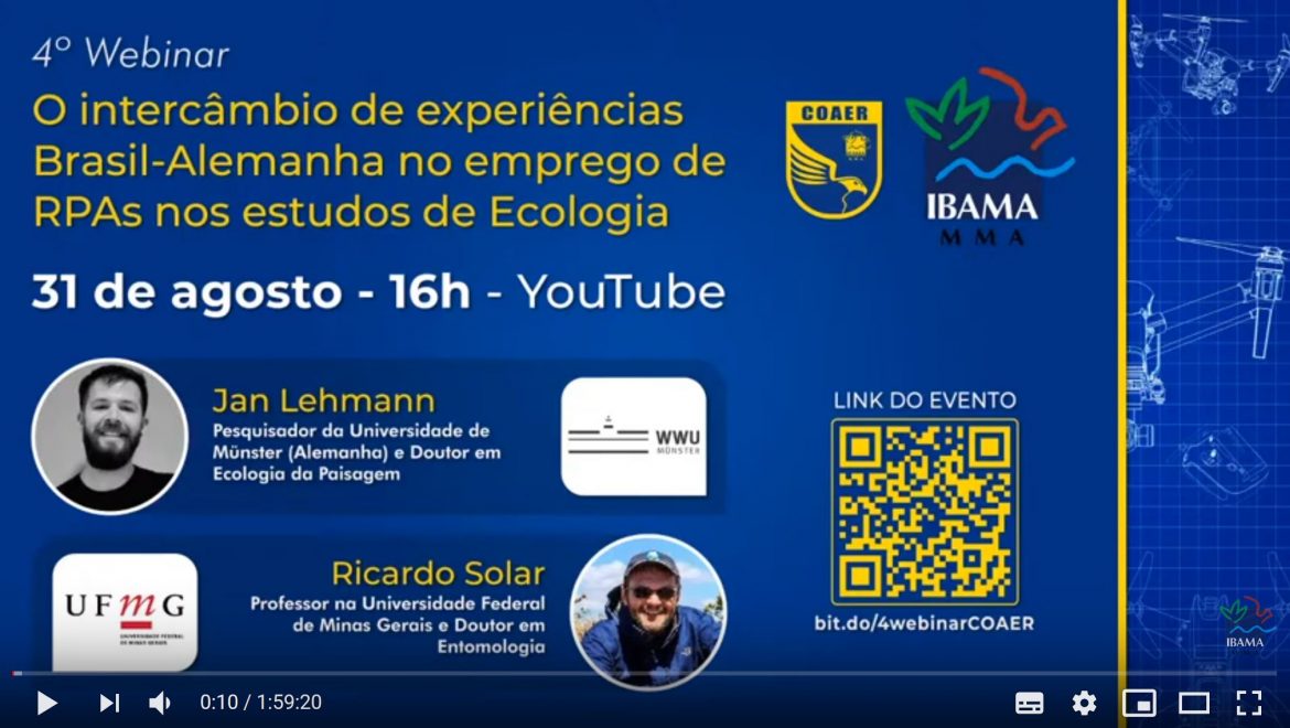
Webinar on drone use in Brazilian ecosystems

As part of the webinar series on “Usage of drones in Brazilian ecosystems”, organized by the Brazilian environmental authority IBAMA, Jan Lehmann gave a presentation on the scientific exchange between Brazil and Germany. The long-standing cooperation with the universities of Vicosa and Belo Horizonte was presented and the common experiences with drones were discussed.

Projects

LIDAR Flights in Bog Ecosystem

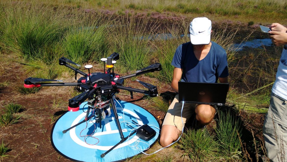
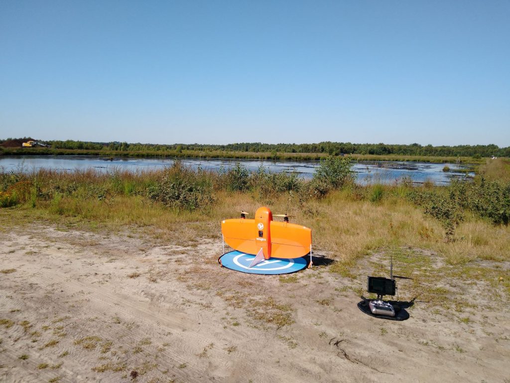
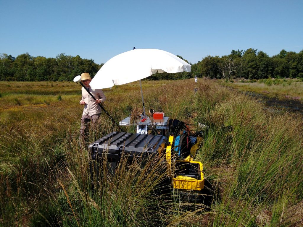
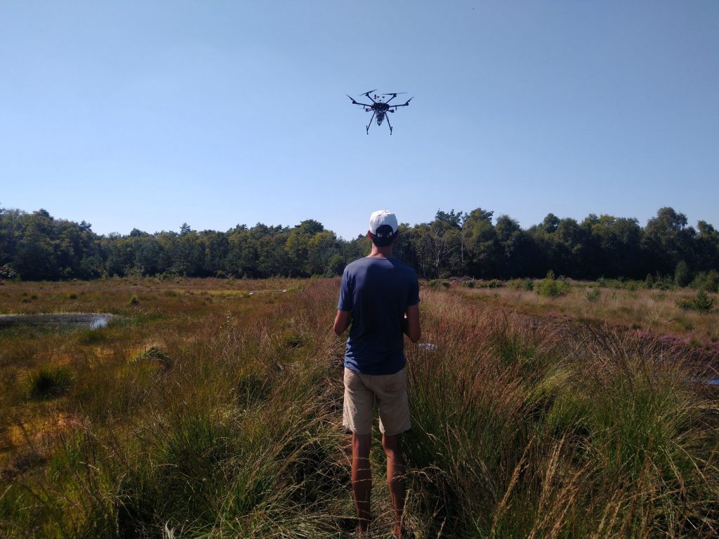
With bright sunshine, blue skies and very hot weather (temperatures above 35 degrees) we made our first test flights in the Vechta Moor. Besides flying over a renaturalized and rewetted part of the bog ecosystem with our Wingtra (Reliable as always!), we have recorded a small area with a LIDAR system. Despite the difficult conditions (always strong thermal activites due to the heating of the black bare peat areas) the LIDAR flights were quite successful. Tests were carried out at different altitudes and different speeds. Now the data will be evaluated to find the optimal settings for flying over a bog ecosystem.
WingtraOne ready for takeoff


The basecamp. The shade was very welcome with temperatures above 35 degrees that day.


Preparation of the LIDAR flights.


Take-Off


The automatic waypoint flight is activated.


Always keep an eye on the drone.


Landing after a successful flight.
Projects

WingtraOne flights for wild bee monitoring

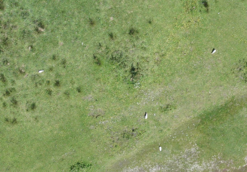
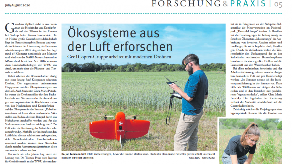
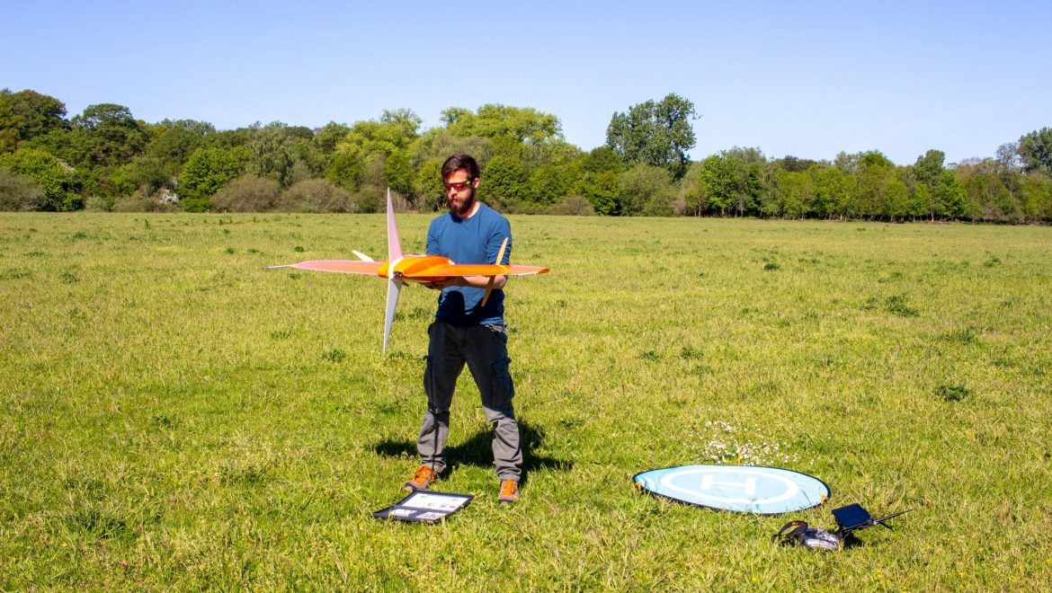
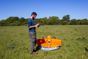
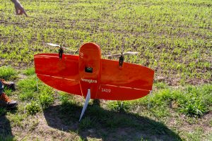
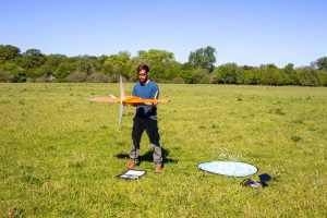
Within the context of a bachelor thesis we flew over a section of the renaturalized meadows along the river Ems with our WingtraOne drone. The image data (RGB and multispectral) will be evaluated with regard to open soil areas, as these areas can represent important habitats for wild bees. The flights were carried out under perfect weather conditions (blue cloudless sky and no wind).

A total area of 40ha was recorded.

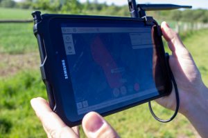
Real-time flight monitoring with the tablet.

Preparations shortly before the take-off.

Ready to go…

Recording of the white reference panel for later calibration of the multispectral data.

Photo credits: All photos by Christoph Scherber.

General

UAV-M² Workshop in Münster

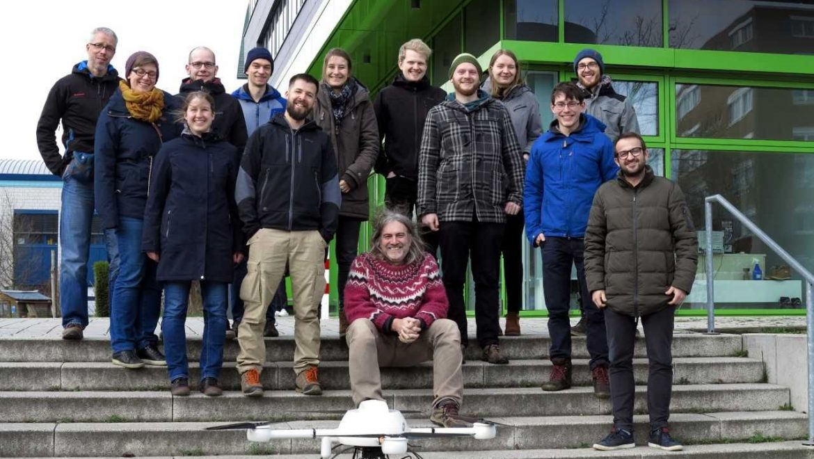
From February 27th to 28th we organized a joint workshop on UAV based remote sensing, together with the University of Marburg. The 15 participants came from the research group of Environmental Informatics in Marburg, as well as IfGI’s Spatio-Temporal Modelling Lab and our working group for Remote Sensing and Spatial Modelling. During the two days we’ve had a lot of exchanges about application possibilities, sensors, software, different analysis methods including deep learning methods as well as teaching activities.

It was an inspiring exchange from which diverse ideas for follow-up activities emerged. Thanks to all participants and we are looking forward to the next joint event in summer!

General

New DJI P4 multispectral drone for teaching

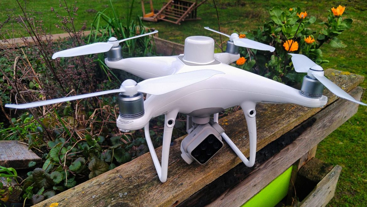
We are happy about the latest group member, a DJI P4 Multispectral drone with RTK unit. The new drone is to be used in our courses, so that the students can be trained on a highly modern and widespread system. We are looking forward to exciting days in the field and interesting data.