Author: Jan Lehmann

Projects

LIDAR Flights for Deadwood Stocks

As part of a bachelor thesis, we have surveyed two forest sites with our LIDAR system during the last few days. In the planned thesis, information about the deadwood stocks will be provided in the context of the new designation of a nature reserve.


Projects

Masterthesis: UAS-based mapping of vultures in Namibia

Our master student Candy Fahrenholz collected drone data in the national park in Namibia for her master thesis.

While in ancient times vultures were still considered a symbol of courage, power and knowledge, nowadays they belong to the “Ugly 5” in Africa and have a rather grim reputation as scavengers. Nevertheless, as the “health police,” they playing an important role in our ecosystem and acting as an ecological link. Against this backdrop there is a need to protect and conserve in general all vulture species. In October 2022 I started my UAS-based mapping of the endangered subspecies Lappet-faced vulture (Torgos tracheliotos) and White-backed vulture (Gyps africanus) in the Wildlife Reserve Kuzikus in Namibia. To combine remote sensing detection in nature conservation is an effective instrument with many benefits. With the research outcome I want to provide the opportunity to develop an effective management for a better understanding and protection. With my master thesis the scavengers should get more attention for sustainable conservation.


Projects

First Data Acquisition in the ReVersal Project

As part of the new project “ReVersal” we were out in sunny weather in a peatland ecosystem in West-Germany. Besides the operation of our new DJI M300 drone with the Zenmuse L1 LIDAR system, our WingtraOne was used to acquire multispectral image data. In addition, we were able to capture large-scale thermal data with our WIRIS thermal camera.

The data will be linked with gas flow measurements (closed chamber measurement) to make predictions about large scale gas fluxes of the studied peatland.


General

New DJI M300 L1 LIDAR System successfully tested

Our drone fleet was expanded in the last days with a DJI M300 RTK, including the new L1 LIDAR system and the WIRIS PRO SC thermal camera.

Today, in rather windy conditions, test flights were completed and a first point cloud was calculated from the data set. The first impression is promising and we are looking forward to new possibilities in our teaching and research activities with this new system.


Teaching

Current Study Project of our Bachelor Students

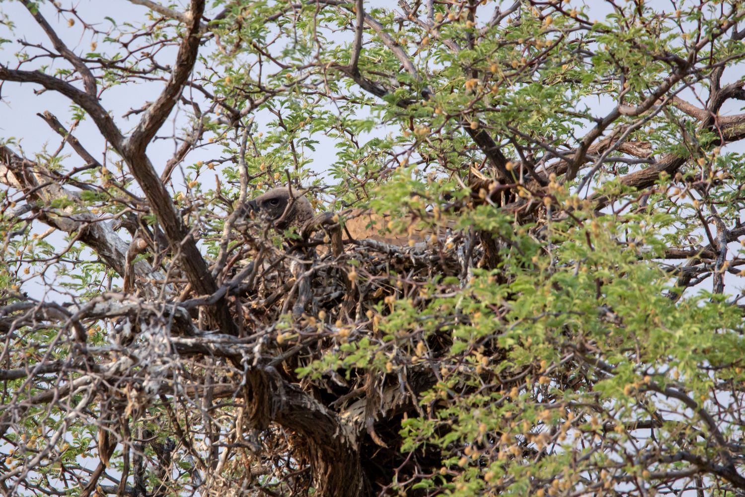
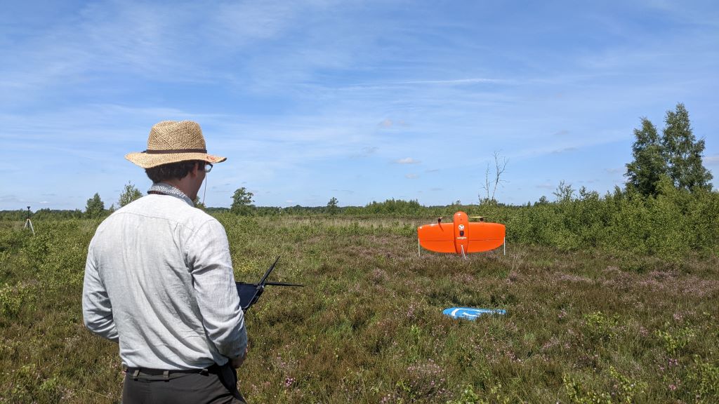
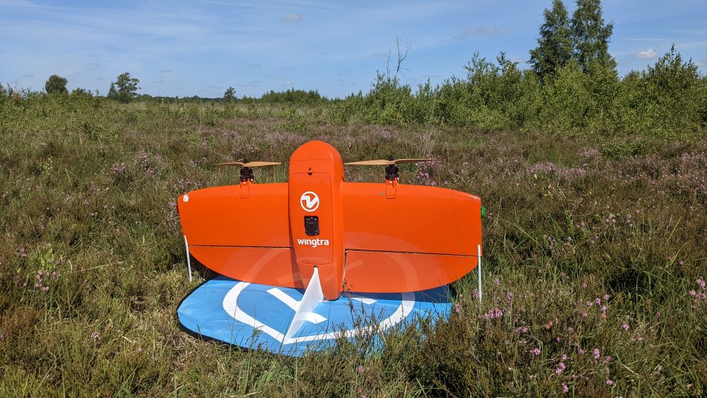
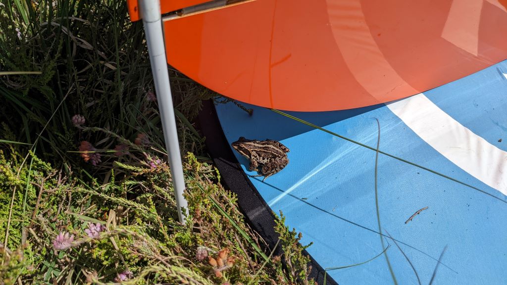
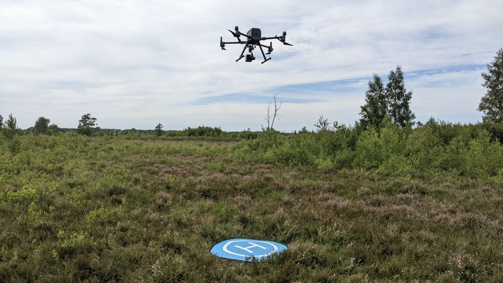
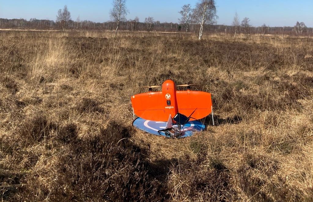
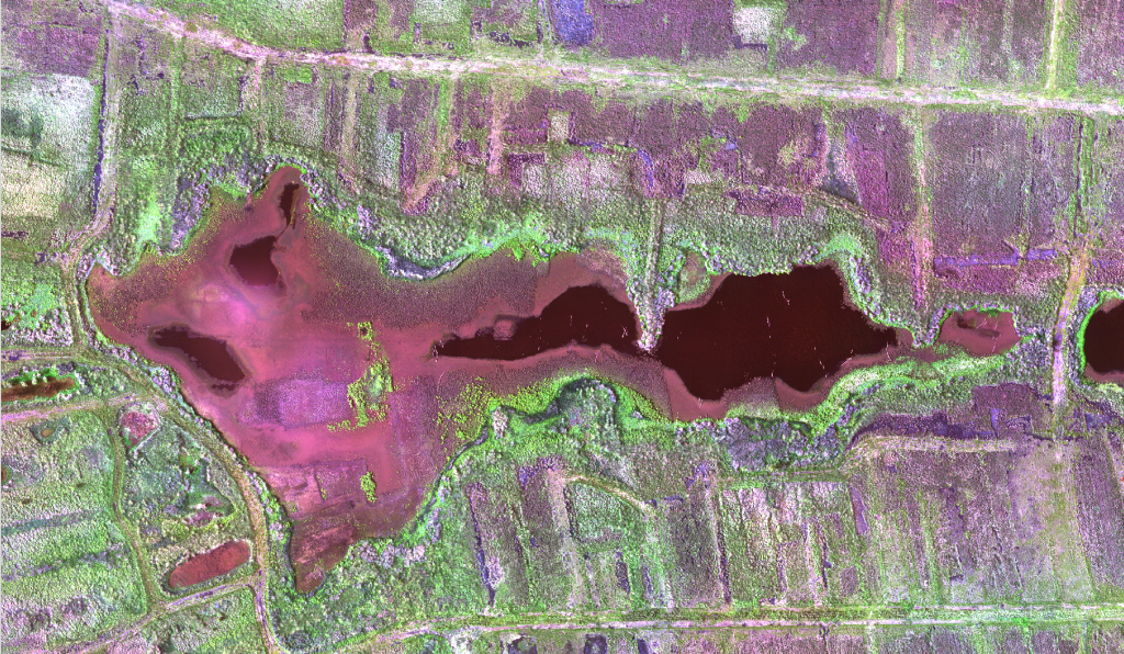
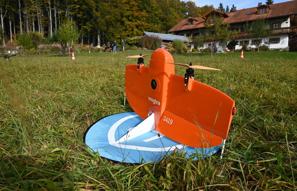
As part of the study project Amtsvenn the first UAS flight campaign was successfully conducted on the 3rd of March 2022. High-resolution multispectral and very high-resolution RGB imagery was collected with the WingtraOne. The campaign was supervised by the “Biologische Station Zwillbrock e.V.” to survey the low disturbance of the UAS on wildlife and no disturbances were observed.

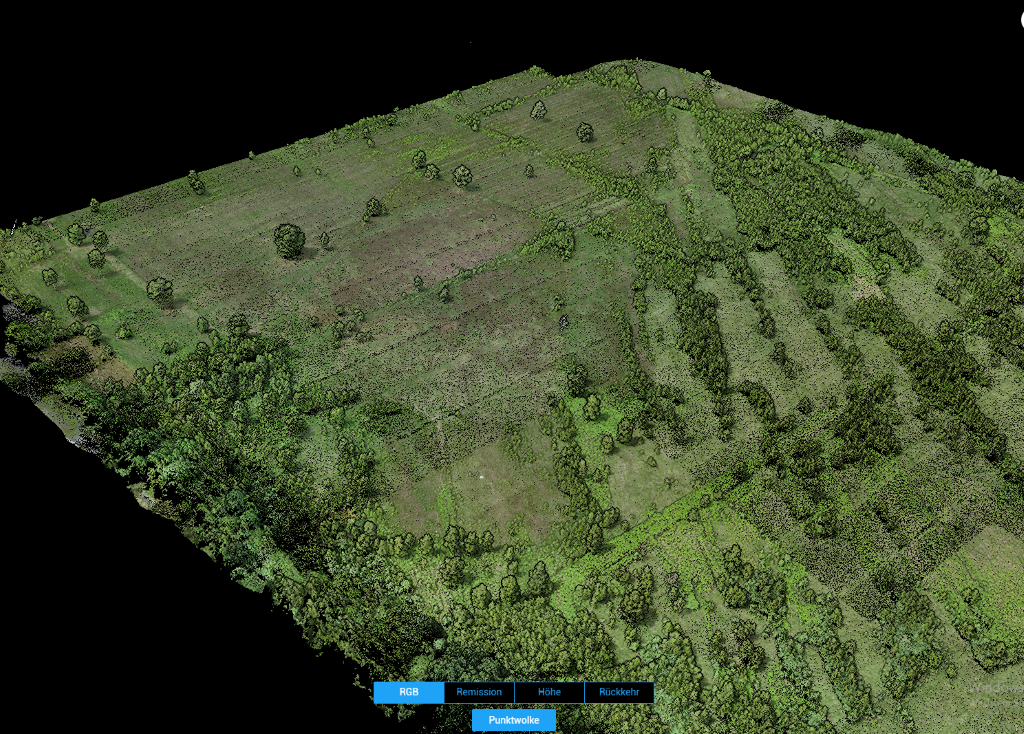
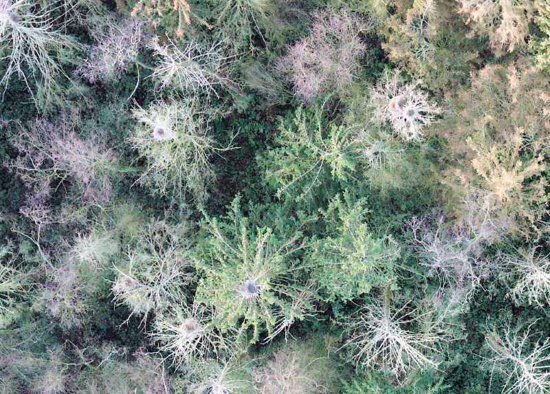
The study project investigates how UAS imagery can be used to detect and spatially model the humidity and vitality of bog vegetation. For ground truth, humidity and temperature are measured in a measurement setup developed by the students, representing different gradients (elevation, vegetation, degradation) of the bog.

This study projects follows the ongoing research in the Vechta bogs and kicks off the in April 2022 starting “Reversal Project”.

There are many research project, bachelor and master thesis topics for students interested in remote sensing and spatial modelling in bog ecosystems. If interested, please contact Jan Lehmann, Hanna Meyer and Laura Giese.

Teaching

Bird Nest Counting

As part of the current winter semester course “Principles of drone-based remote sensing”, a survey of a closed-by forest was carried out using our Wingtra drone. The idea behind the image data acquisition is to count the bird nests of Grey Herons using VHR aerial photography, as an accurate estiamtion from the ground is only feasible to a limited extent. The students in the course will learn about data processing and analysis using this data set.

Projects

Open Position in Peatland Monitoring

We are looking for a highly motivated candidate to work with us in the European BIODIVERSA project “ReVersal – Restoring peatlands of the nemoral zone under conditions of varying water supply and quality”. The main objective of the project funded within the call “Conservation and restoration of degraded ecosystems and their biodiversity, including a focus on aquatic systems” is to develop a spatio-temporally explicit indicator system for peatland restoration success across peatland sites and across spatio-temporal scales.

The successful candidate will work in an international and interdisciplinary team and will be responsible for the development of an upscaling approach from local field measurements via very-high resolution UAS-data to the satellite-scale. The candidate will derive peatland restoration indicators directly from multi-sensor remote sensing signals and model more complex indicators such as potential gas fluxes using machine learning methods.

The position announcement can be found here:

https://www.uni-muenster.de/Rektorat/Stellen/ausschreibungen/st_20212611_sk7.html


Projects

Earth Observation Network in the Bavarian Forest

From October 18-22 the Remote Sensing and Spatial Modelling Research Group met together with colleagues from different research institutions for a first joint meeting of our “Earth Observation Network” in the Bavarian Forest. During “Walk&Talk”, presentations and joint data acquisition in the field, we exchanged ideas and planned joint research and teaching activities in the field of remote sensing.

More information and pictures can be found on the pages of the Earth Observation network.

General

New publication available

We are pleased to announce our latest publication, which is the result of cooperation with our Brazilian colleagues.

https://onlinelibrary.wiley.com/doi/full/10.1111/aec.13113

Abstract

A substantial fraction of stored freshwater available on neotropical inselbergs is impounded within the rosettes of bromeliads. Their high water retention capacity can potentially have an outcome on the inselberg community as well as on the surrounding environment. However, there are no studies measuring and extrapolating the water retention capacity of bromeliads from single observations to larger spatial scales. Using simple drone-based imagery, we were able to calculate and upscale the water tank capacity of Alcantarea distractila, a bromeliad genus which is widespread on inselbergs in Southeastern Brazil. Our results provide a firstarge scale quantification of the estimated availability of water tank reservoir of inselbergs, which highlights the potential provisional ecosystem service delivered by bromeliad species.


General

Geo1Copter visits Intergeo

Dr. Jan Lehmann visited this year’s Intergeo conference and trade fair in Hannover. Besides new interesting drone platforms, also innovative sensors could be viewed. Especially the trend towards small, powerful LIDAR systems was impressive.