General

General

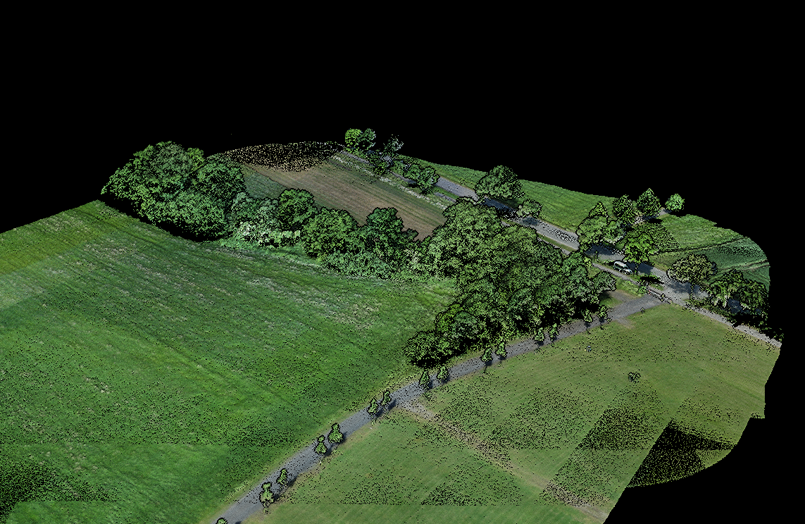
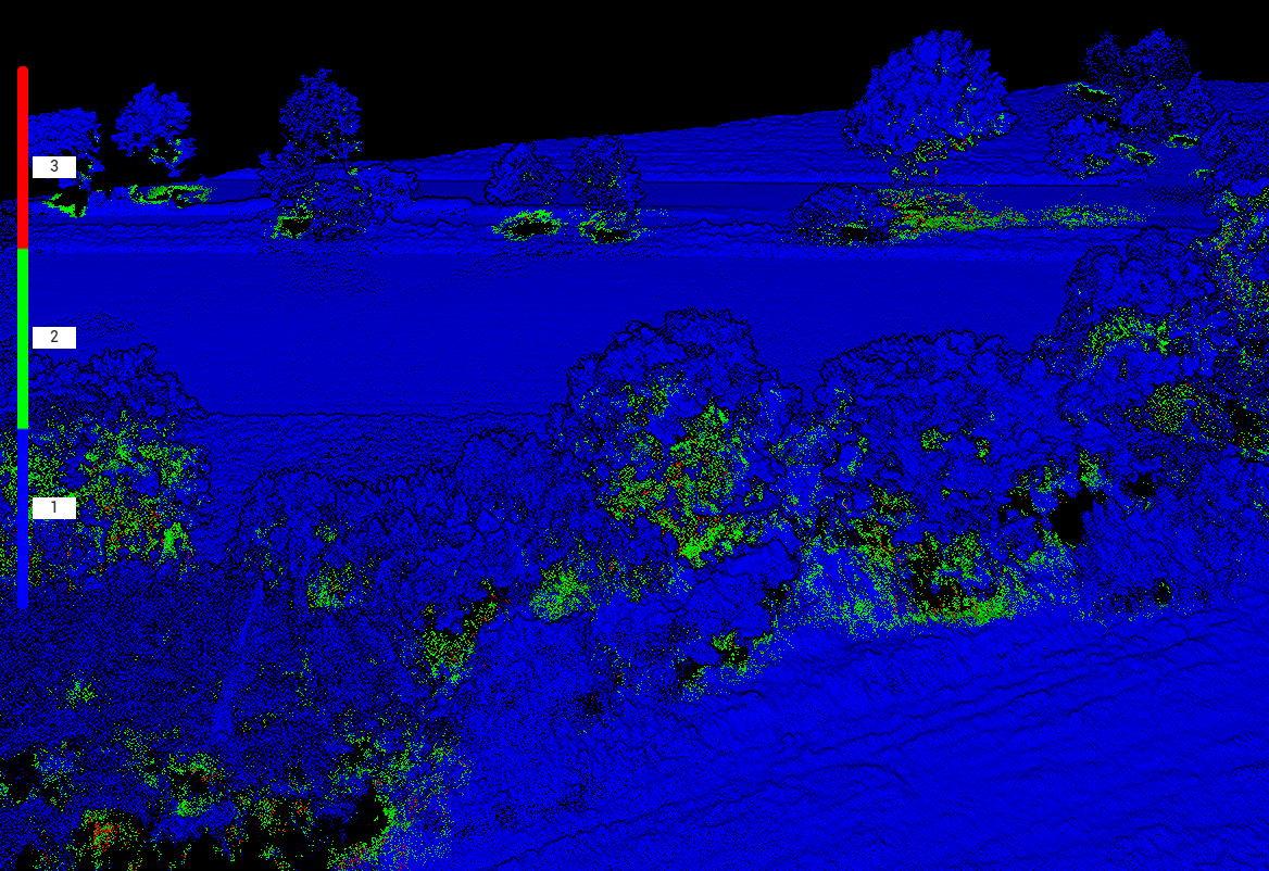
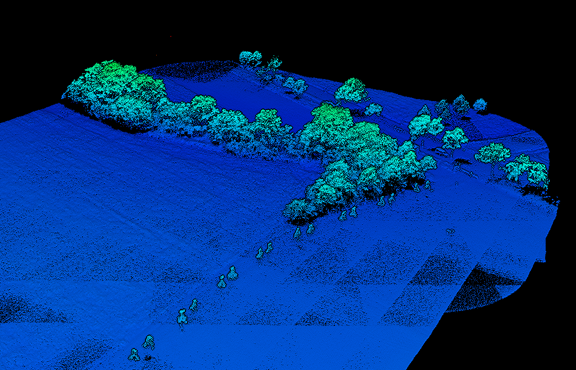
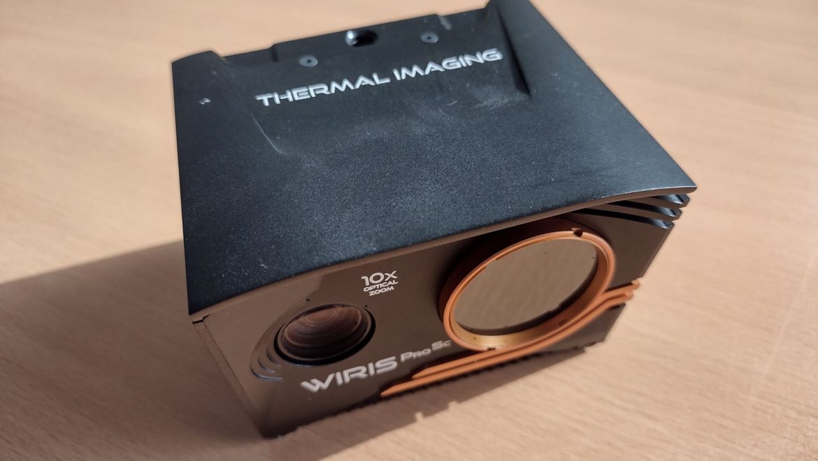
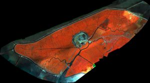
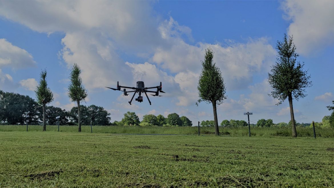
New DJI M300 L1 LIDAR System successfully tested

Our drone fleet was expanded in the last days with a DJI M300 RTK, including the new L1 LIDAR system and the WIRIS PRO SC thermal camera.

Today, in rather windy conditions, test flights were completed and a first point cloud was calculated from the data set. The first impression is promising and we are looking forward to new possibilities in our teaching and research activities with this new system.


General

New publication available

We are pleased to announce our latest publication, which is the result of cooperation with our Brazilian colleagues.

https://onlinelibrary.wiley.com/doi/full/10.1111/aec.13113

Abstract

A substantial fraction of stored freshwater available on neotropical inselbergs is impounded within the rosettes of bromeliads. Their high water retention capacity can potentially have an outcome on the inselberg community as well as on the surrounding environment. However, there are no studies measuring and extrapolating the water retention capacity of bromeliads from single observations to larger spatial scales. Using simple drone-based imagery, we were able to calculate and upscale the water tank capacity of Alcantarea distractila, a bromeliad genus which is widespread on inselbergs in Southeastern Brazil. Our results provide a firstarge scale quantification of the estimated availability of water tank reservoir of inselbergs, which highlights the potential provisional ecosystem service delivered by bromeliad species.


General

Geo1Copter visits Intergeo

Dr. Jan Lehmann visited this year’s Intergeo conference and trade fair in Hannover. Besides new interesting drone platforms, also innovative sensors could be viewed. Especially the trend towards small, powerful LIDAR systems was impressive.


General

New Thermal Sensor

We have recently added a new thermal sensor from Workswell to our sensor inventory. The specifications of the WIRIS Pro SC sensor already sound very promising and we are curious about the first data sets. Among other things, the new sensor will be used for water monitoring, tracking of wildlife and forest stand monitoring.

General

Webinar on drone use in Brazilian ecosystems

As part of the webinar series on “Usage of drones in Brazilian ecosystems”, organized by the Brazilian environmental authority IBAMA, Jan Lehmann gave a presentation on the scientific exchange between Brazil and Germany. The long-standing cooperation with the universities of Vicosa and Belo Horizonte was presented and the common experiences with drones were discussed.

General

UAV-M² Workshop in Münster

From February 27th to 28th we organized a joint workshop on UAV based remote sensing, together with the University of Marburg. The 15 participants came from the research group of Environmental Informatics in Marburg, as well as IfGI’s Spatio-Temporal Modelling Lab and our working group for Remote Sensing and Spatial Modelling. During the two days we’ve had a lot of exchanges about application possibilities, sensors, software, different analysis methods including deep learning methods as well as teaching activities.

It was an inspiring exchange from which diverse ideas for follow-up activities emerged. Thanks to all participants and we are looking forward to the next joint event in summer!

General

New DJI P4 multispectral drone for teaching

We are happy about the latest group member, a DJI P4 Multispectral drone with RTK unit. The new drone is to be used in our courses, so that the students can be trained on a highly modern and widespread system. We are looking forward to exciting days in the field and interesting data.


General

Successful flights with WingtraOne

For the detection of invasive grasses on an island in the German Wadden Sea, we have been able to successfully use our new WingtraOne drone. The flight performance, as well as the resulting image data are very convincing. We are looking forward to new exciting projects with our new member in our drone fleet.


Resulting multispectral imagery (captured with the new Micasense RedEdge MX)

General

The new interdisciplinary nature of the project group

For more than 10 years we have been using unmanned aerial systems (UAS) in our teaching and research activities in the field of Geosciences. Initially started as the “ifgicopter” project group at the Institute of Geoinformatics, the focus has intensified on ecological applications in recent years. In order to emphasize this interdisciplinary nature of the project group (Geoinformatics & Landscape Ecology), the group has renamed itself in “GEO1copter”.

GEO1 is the name of the building in which we work, teach and research together.

Our new logo: