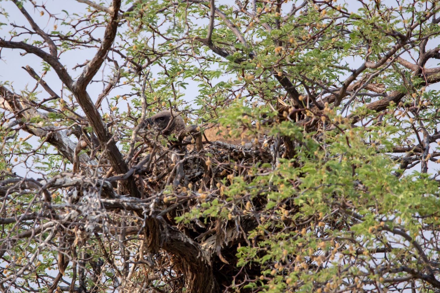
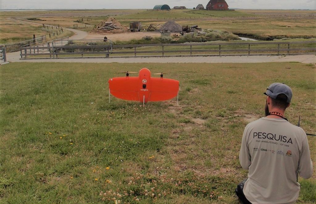
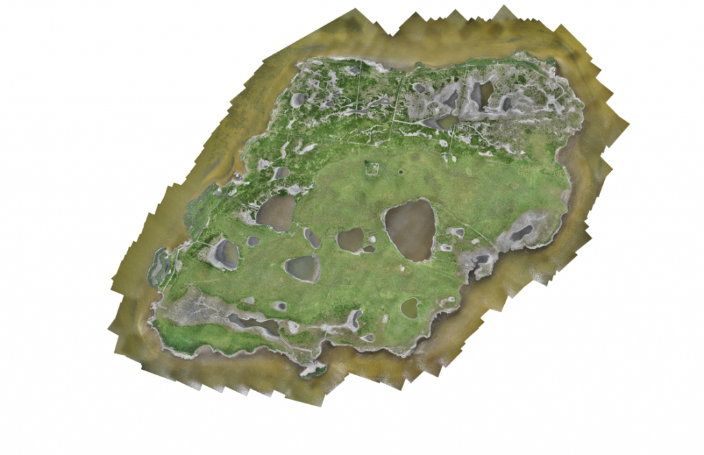
As part of a master thesis and a research project, Dr. Jan Lehmann and the students Candy Fahrenholz and Henning Schneidereit accomplished a field campaign in the national park “Western Pomerania Lagoon Area” from the 13th of June until the 17th of June. With special permits of the national park, which are needed because of strict flight and entry bans, and in close cooperation with the staff of the national park, the two bird sanctuary islands, including active breeding colonies, were mapped with the WingtraOne. A multispectral dataset with information of about 700 hectare was collected and the reaction of the birds towards the drone were observed.
The campaign did work out exceedingly well and now we are looking forward to analyse the dataset in aspects of vegetation and structure as well as for the inventory of breeding birds.
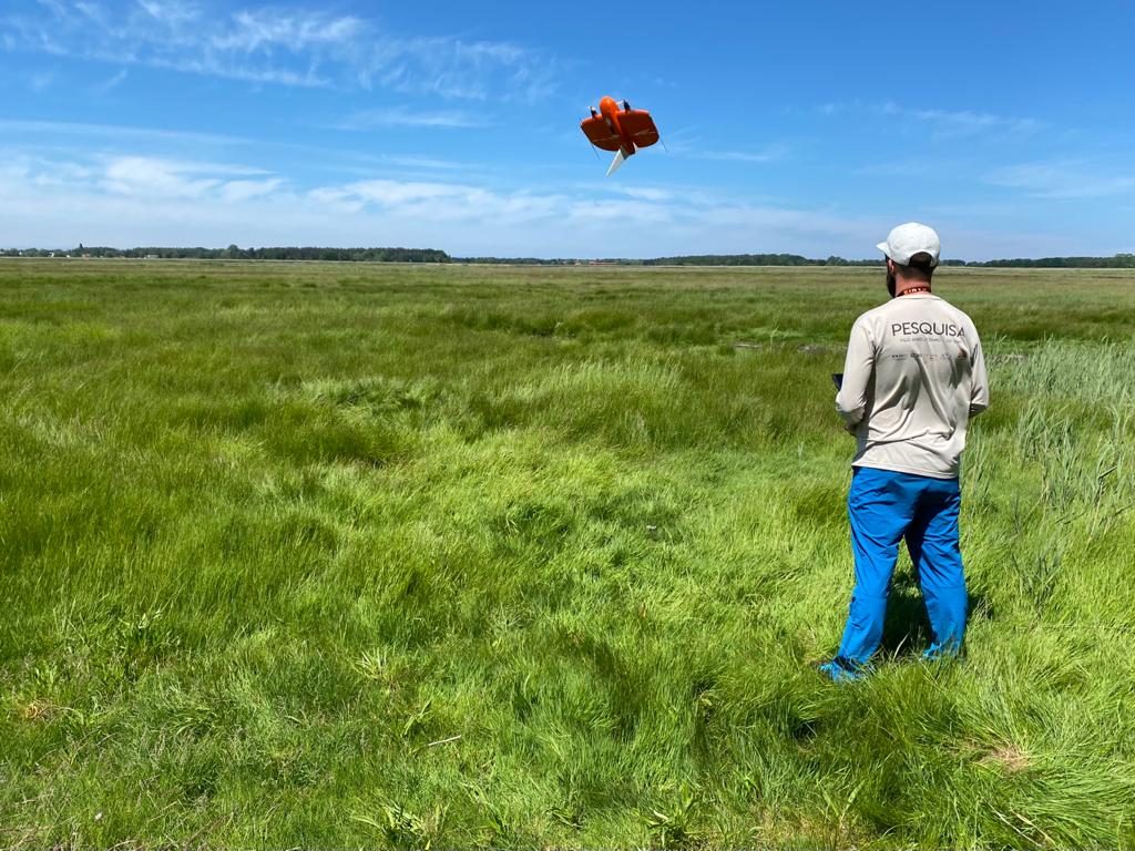
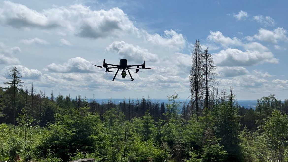
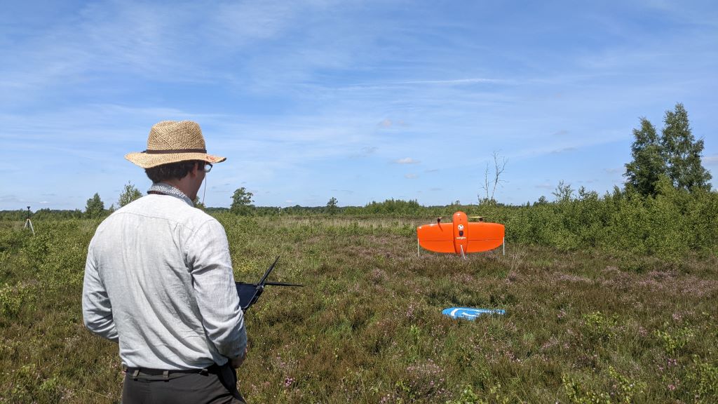
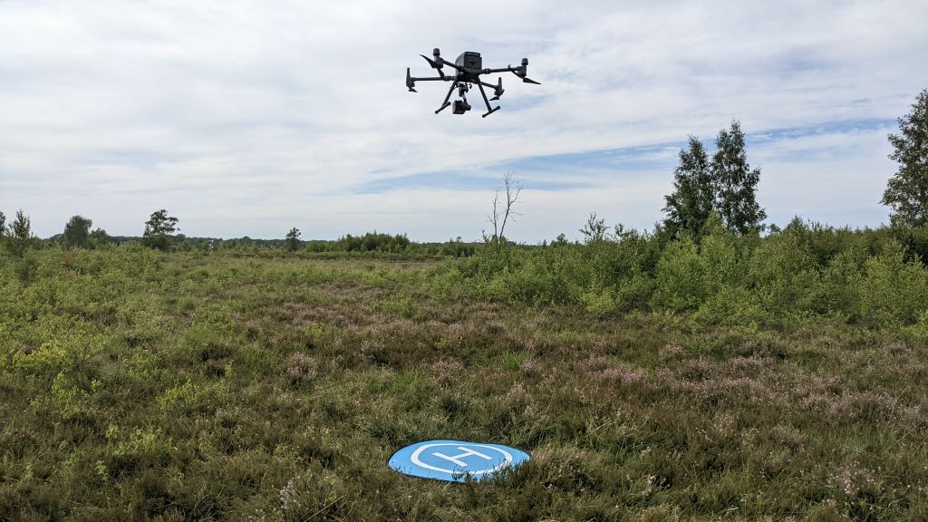
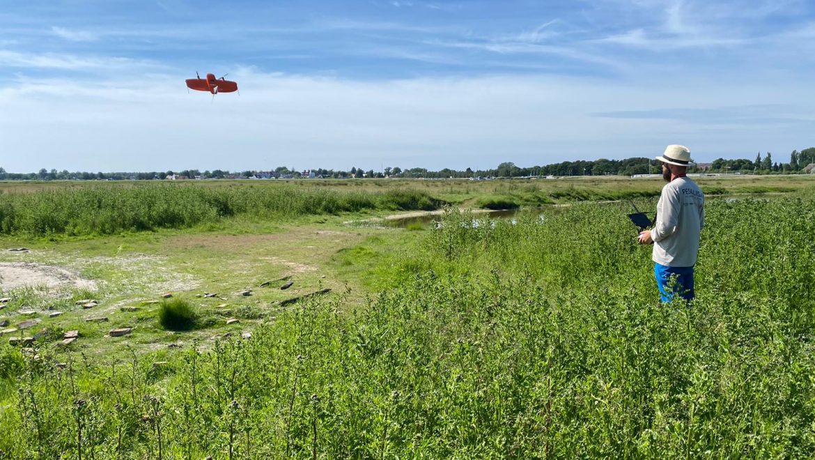
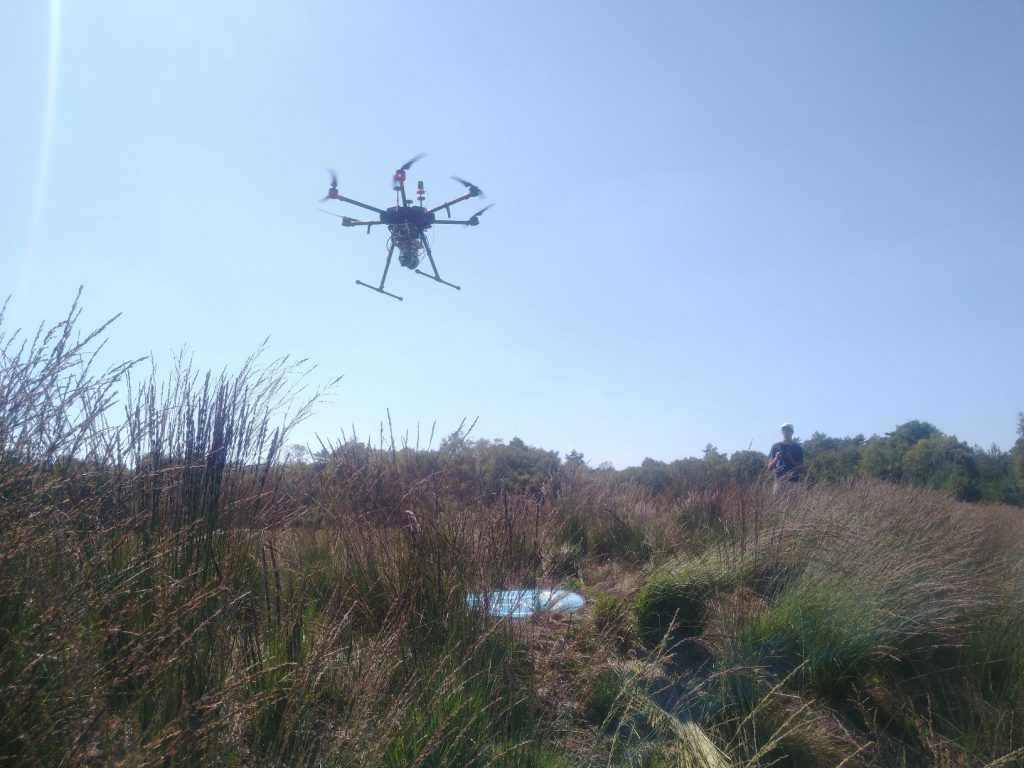
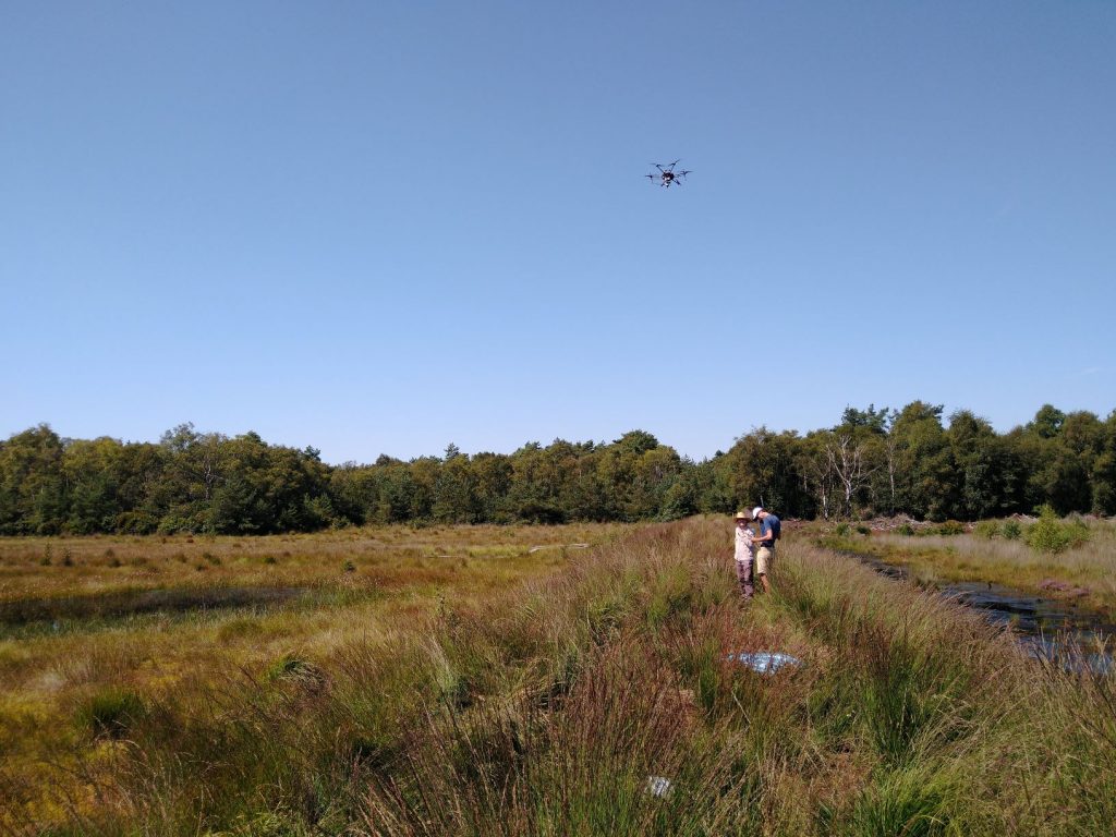
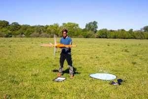
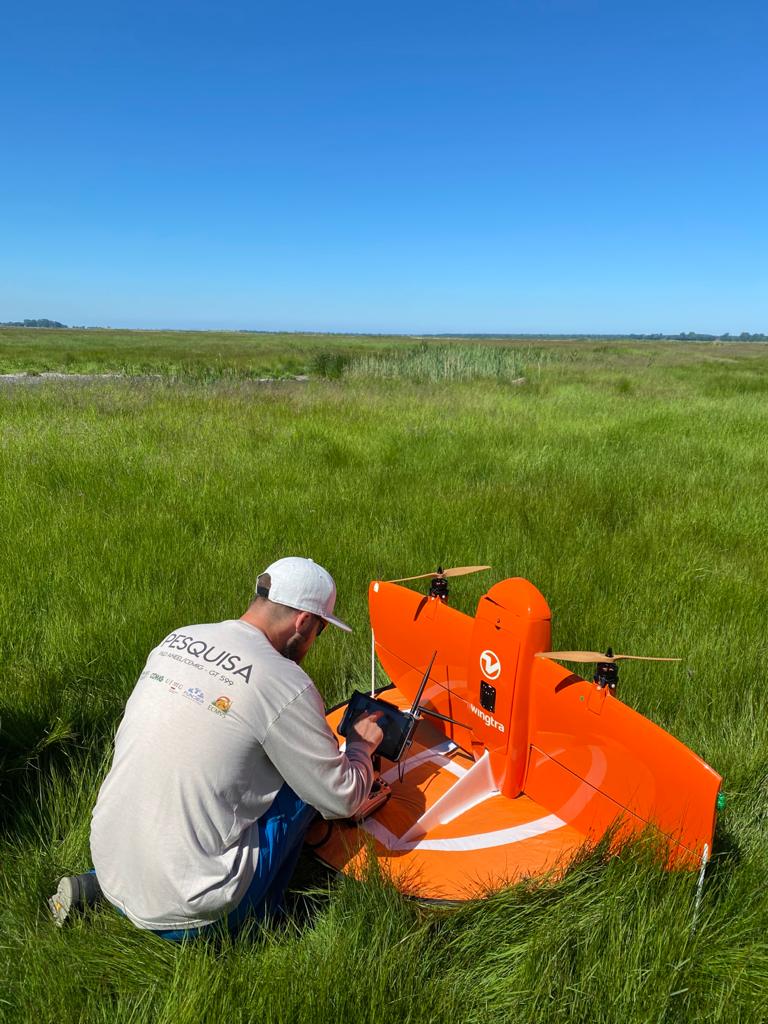
Take-Off
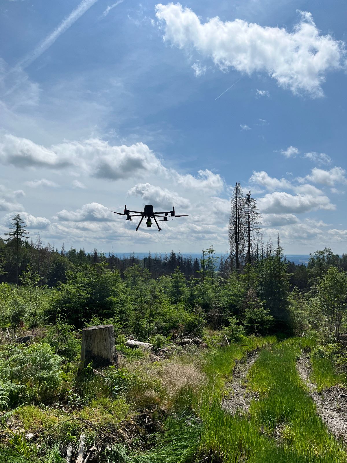
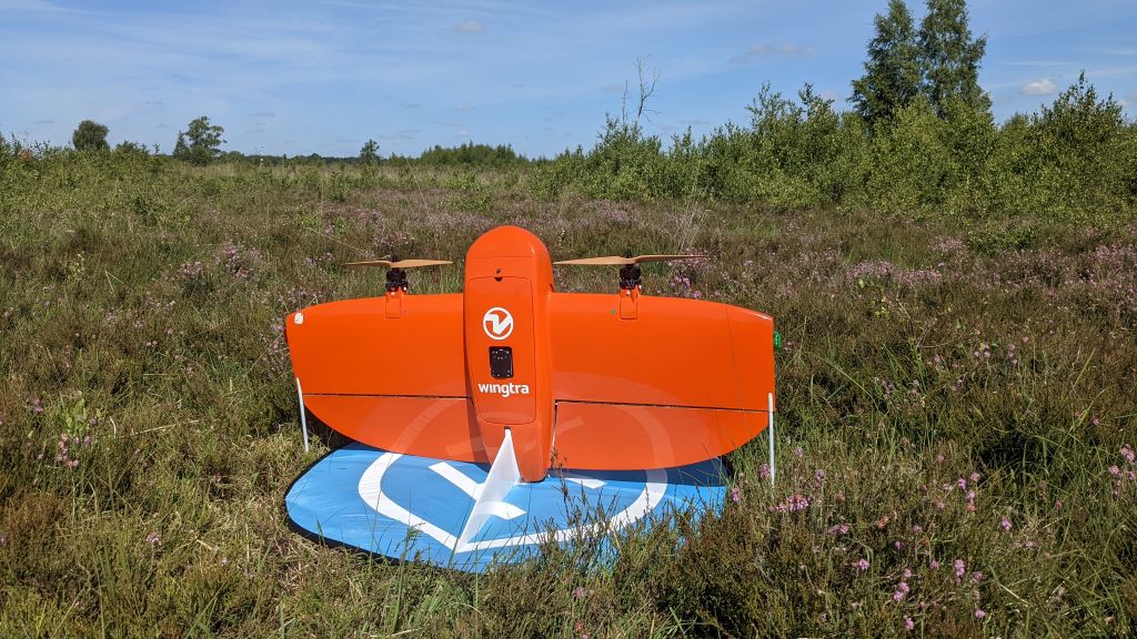
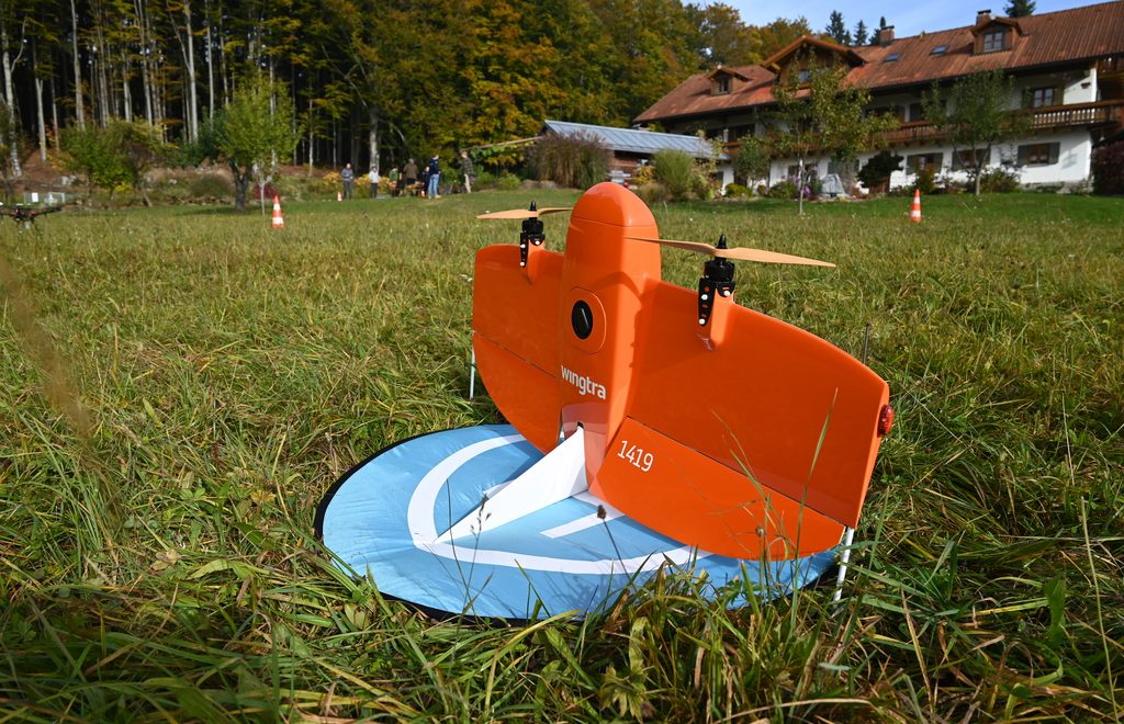
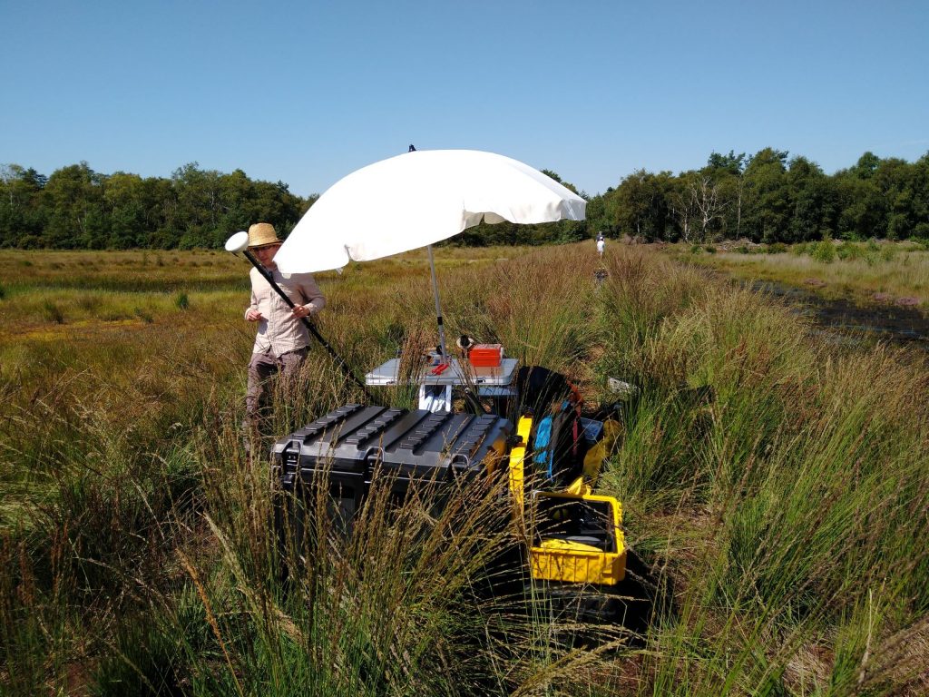
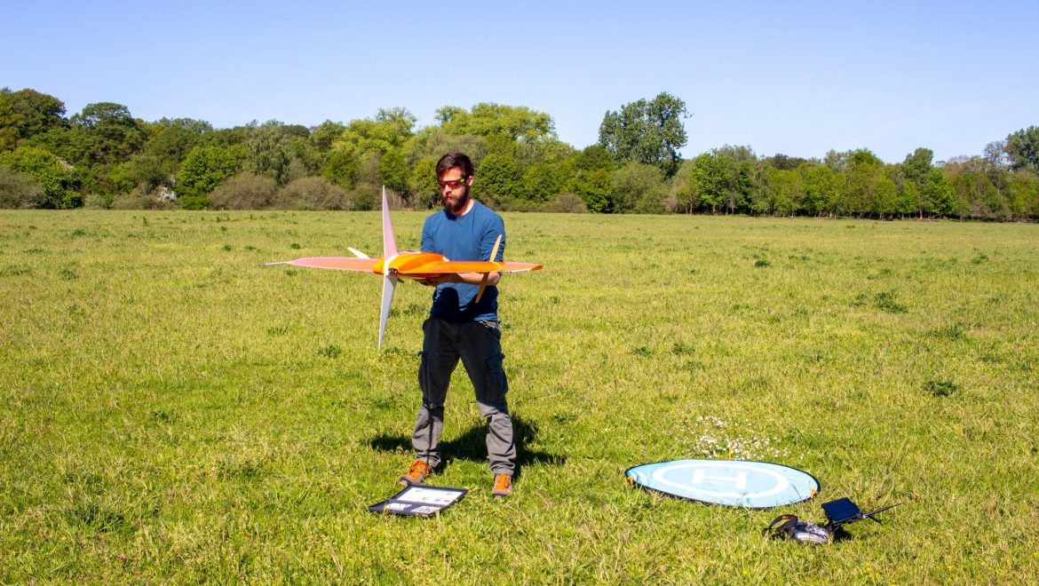
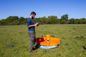
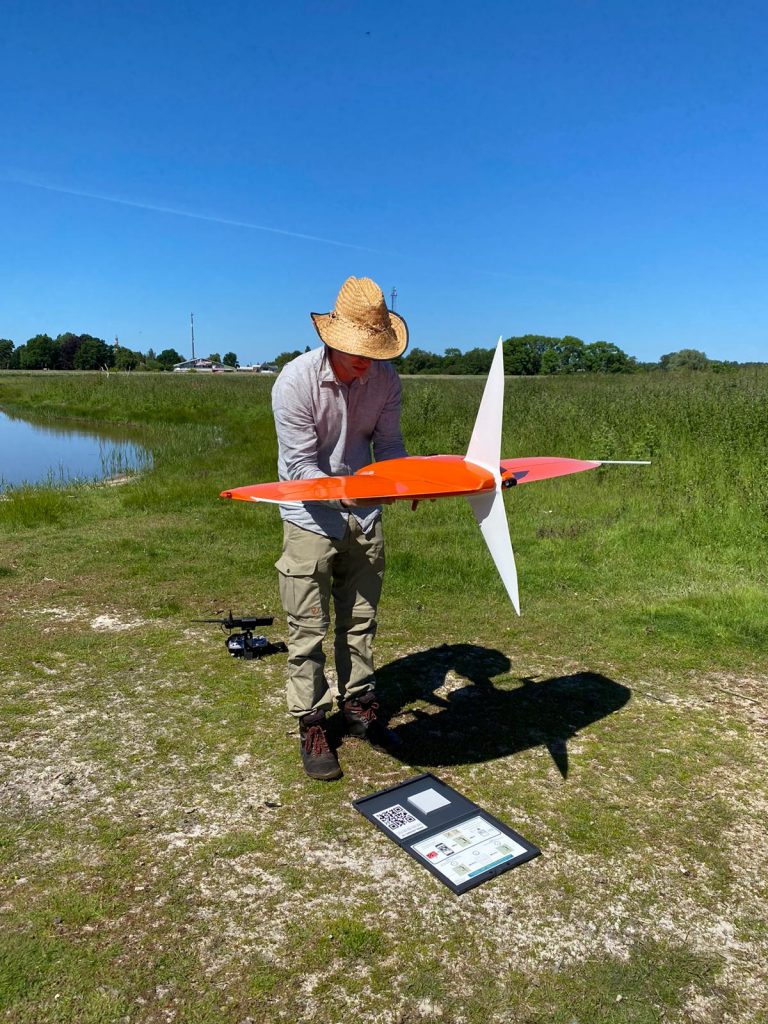
Pre-Flight Setup
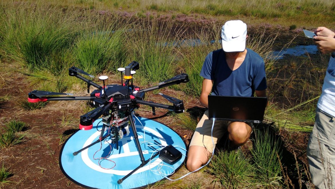
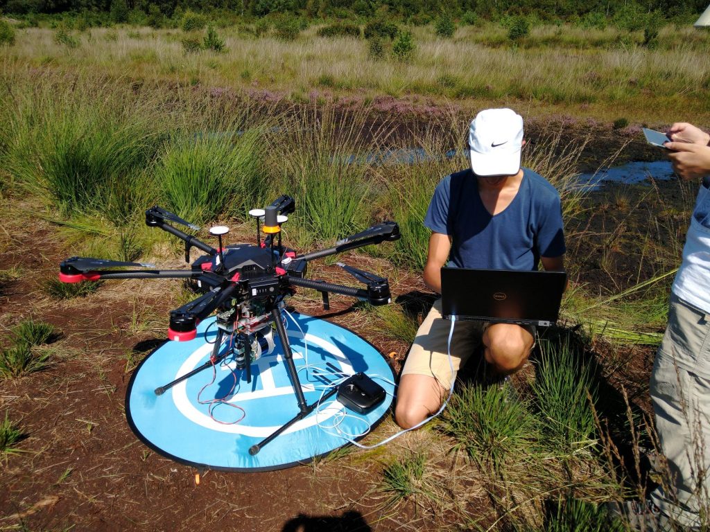
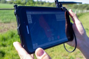
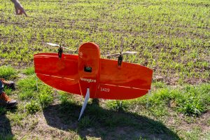
Taking calibration images
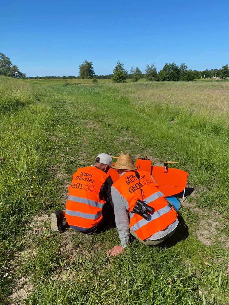
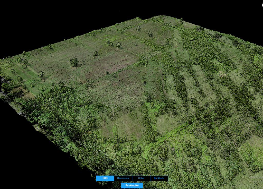
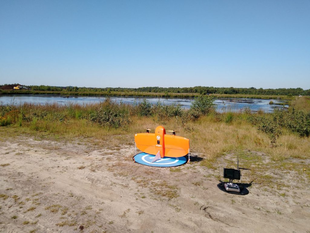
Checking our the data after successful flight
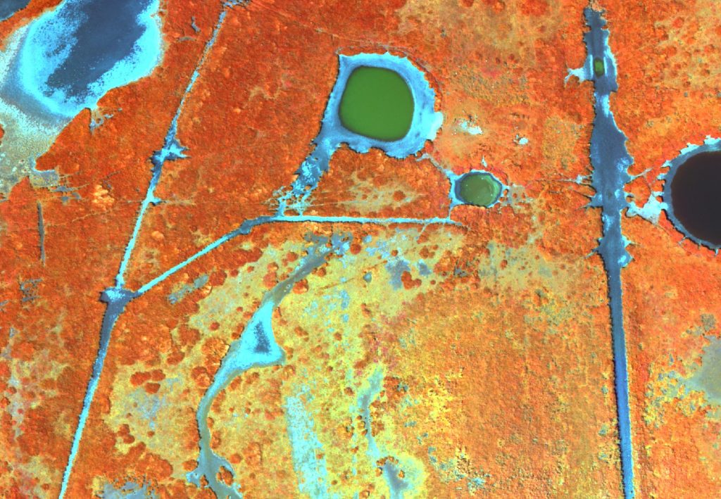
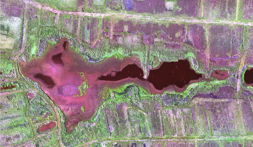
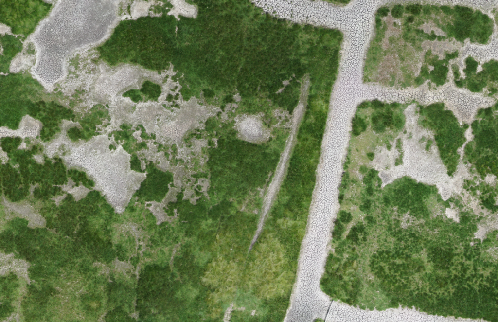
False-Color Imagery with 8cm GSD
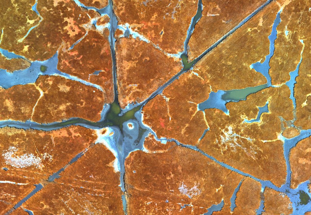
Beautiful pattern
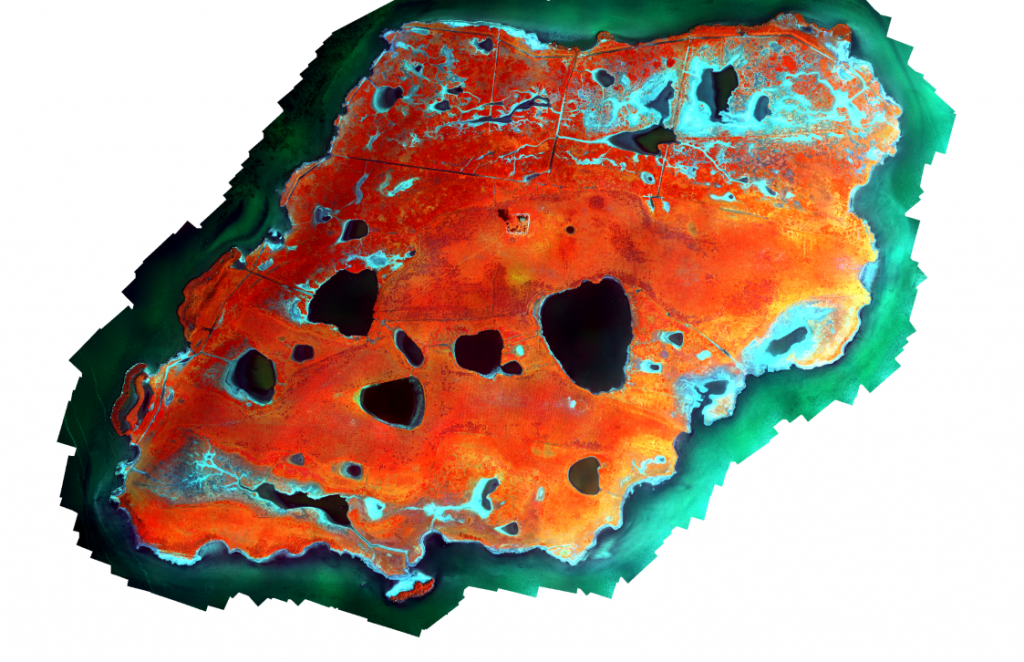
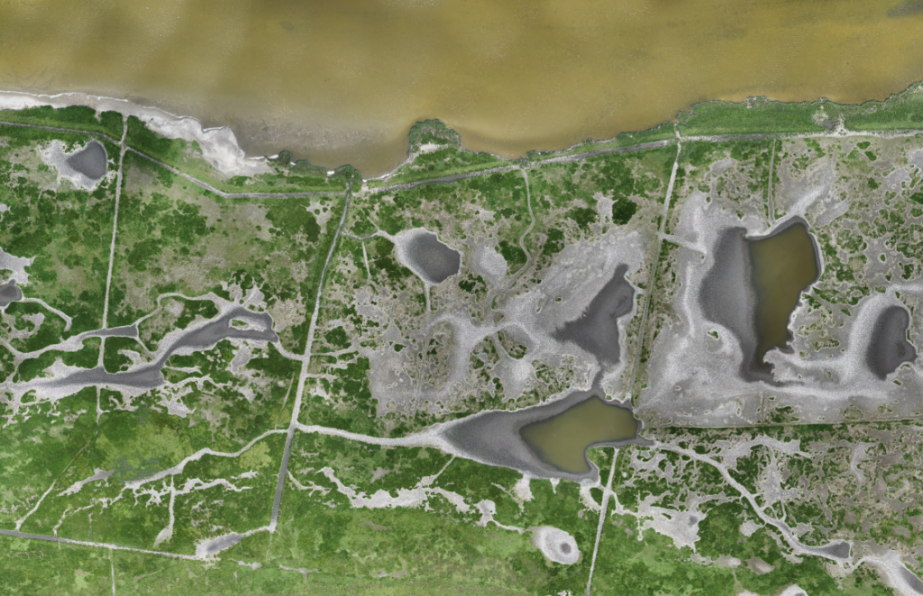
False-Color Orthomosaic of the Barther Oie
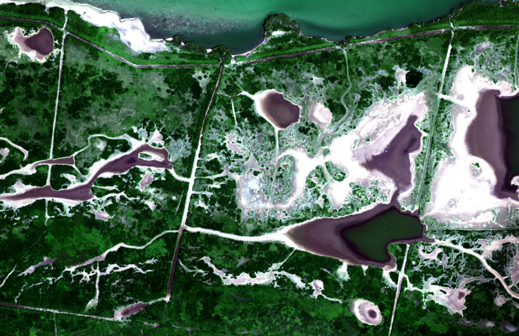
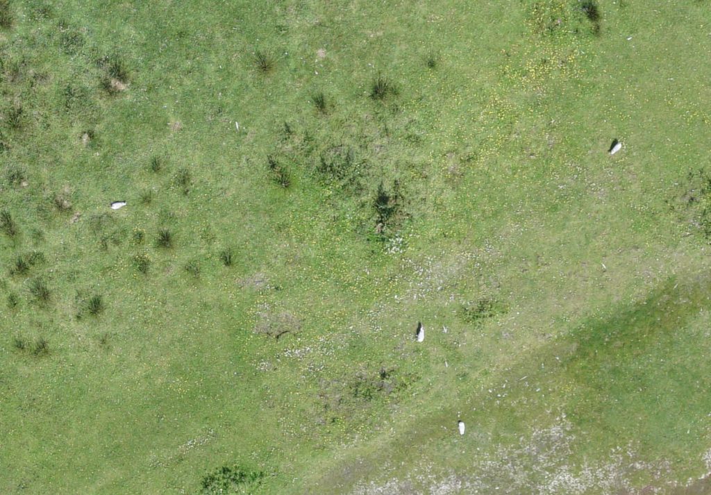
RGB Orthomosaic with 1.8cm GSD
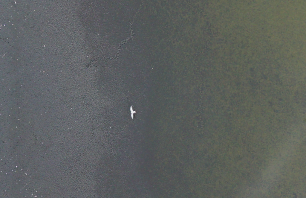
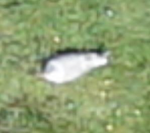
Birds (Terns) sitting relaxed on their nests
Very high-resolution for bird counting