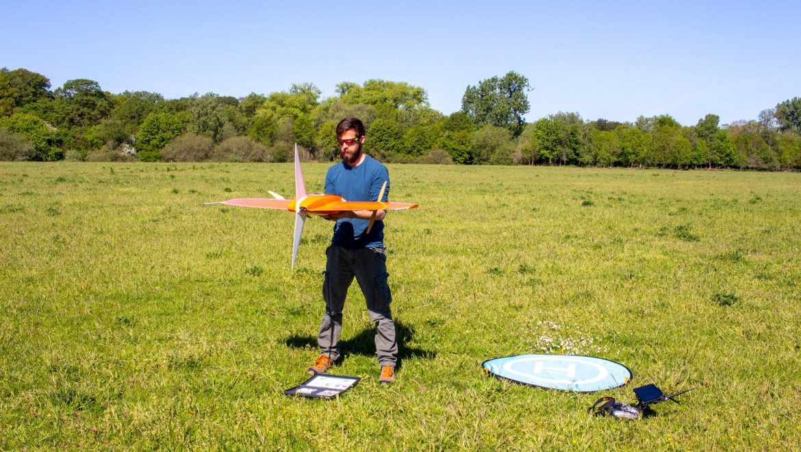
Within the context of a bachelor thesis we flew over a section of the renaturalized meadows along the river Ems with our WingtraOne drone. The image data (RGB and multispectral) will be evaluated with regard to open soil areas, as these areas can represent important habitats for wild bees. The flights were carried out under perfect weather conditions (blue cloudless sky and no wind).
A total area of 40ha was recorded.
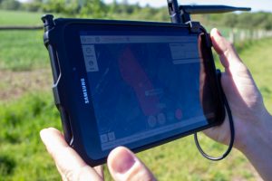
Real-time flight monitoring with the tablet.
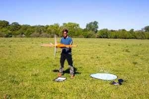
Preparations shortly before the take-off.
Ready to go…
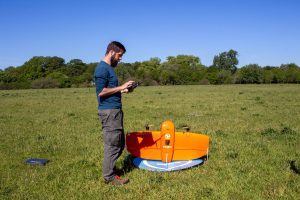
Recording of the white reference panel for later calibration of the multispectral data.
Photo credits: All photos by Christoph Scherber.