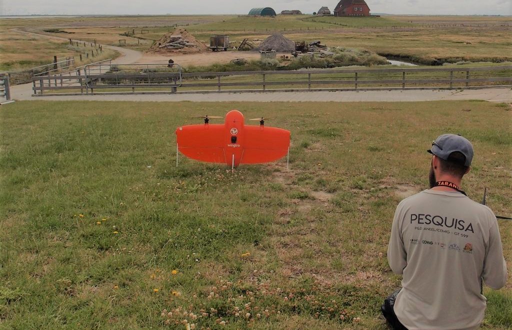
After two years, we repeated the flights for the Elymus athericus grass monitoring project using multispectral imaging data on the Hallig Nordstrandischmoor. The data will be compared with the 2019 classification results to quantify the spread of this grass species. For more information about our project please read the following open access publication: