Projects

Projects

Mapping of invasive grasses in Brazil

As part of a master’s thesis, we used our DJI Mavic 2 to map invasive grass patches in the Serra do Cipo National Park. During the flights windy and strong thermal conditions occurred. Nevertheless, we were able to successfully fly over five areas with different levels of invasion. The data will be used as ground truthing to scale up to the entire national park with the help of satellite data.


The studied invasive grass species (yellow)


Going to collect drone image data by bicycle


Image data collection using our Mavic 2 drone.


Beautiful working conditions in the Serra do Cipo Nationalpark


Projects

UAS based glacier mapping and monitoring in Alps

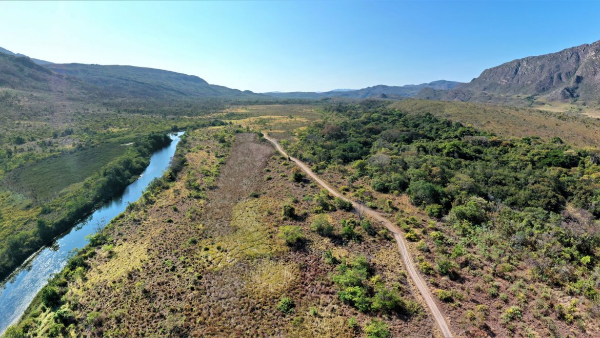
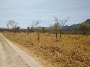
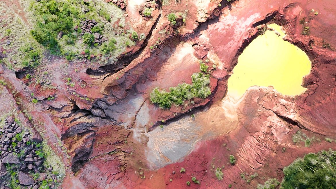
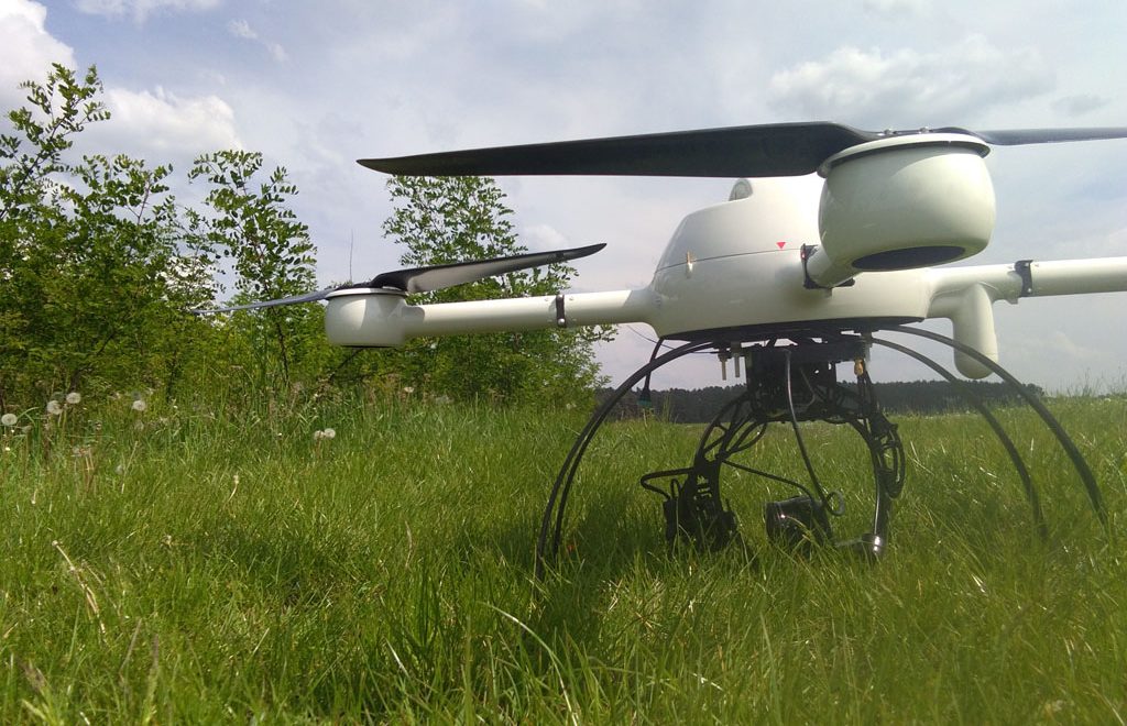
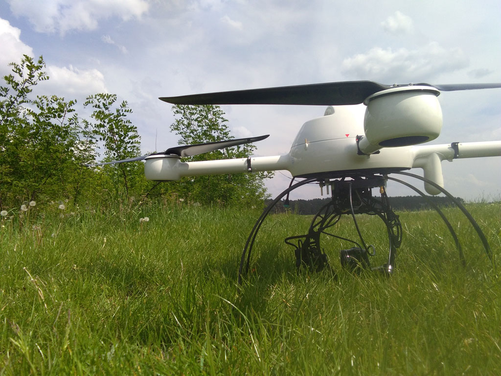
As of last week, we have began research dealing with glacier mapping and monitoring focuesed on a rock glacier in Kaunertal, Ötztal Alps, Austria. The work will be apart of the Master’s thesis of Jordan Bates, an Erasmus Mundus MSc. in Geopsatial Technologies student. Currently the rock glacier is being mapped with Unmanned Aircraft Systems (UAS) and Terrestrial Laser Scanners (TLS) inorder to combine the two data collection means to supplement their individual strengths. The TLS data will provide a more precise measurement with LiDAR along with a view from underneath the face of the glacier and the UAS data will provide a better overall picture from the air with photogrammetry techniques from optically collected data. It is planned that joining these two datasets will create a more complete and accurate depiction of the glacier than more traditional methodologies. This data will then be compared to previous data collections to measure and track its movement.

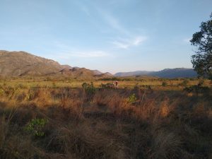
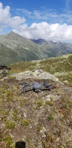
Aerial view of the rock glacier in Kauntertal, Austria that is being observed in this study


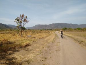
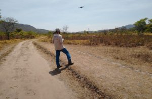
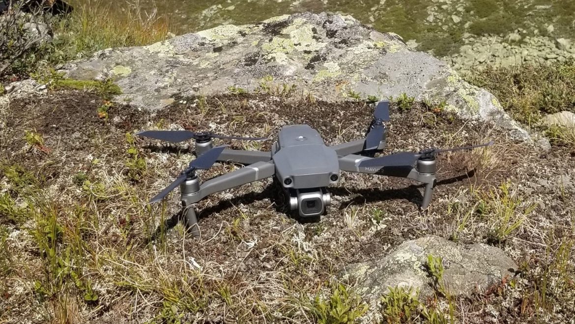
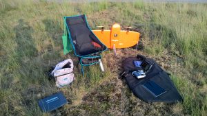
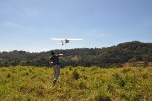
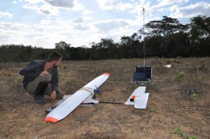
Because of its size, easy set up, and sensor quality, the Mavic 2 Pro is the the sUAS of choice for this work that includes hikes to the top of an alp.


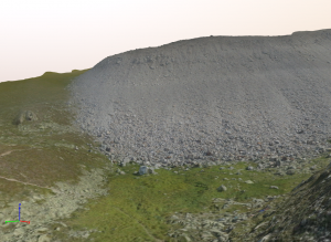
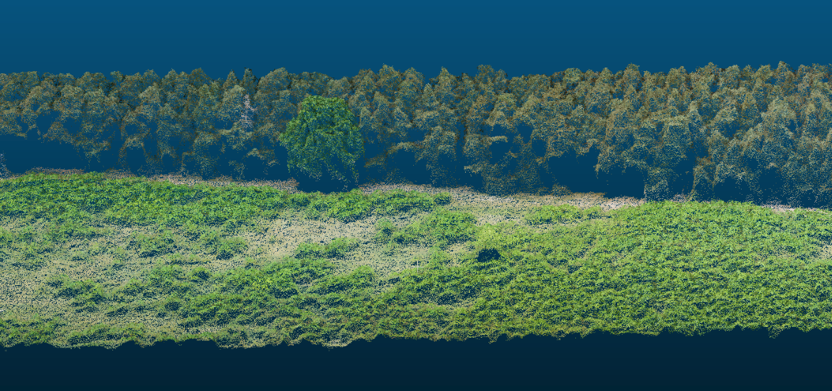
Initial processing of the 3D model and in view is the face/front of the rock glacier

Projects

WingtraOne for biotope type mapping

In cooperation with the LANUV, our student and drone pilot Jan-Patrick Bollow deployed our WingtraOne to collect multispectral image data in a large bog ecosystem. The aim of the project is to generate objectively comprehensible geometric demarcations in order to distinguish the occurring biotope types. The resulting orthomosaic is covering more than 200ha with a GSD of around 7 cm.


WingtraOne after vertical Take-Off


Ready-to-go…


Office of a drone pilot


Image section of the resulting multispectral orthomosaic (green, blue and nir channel with standard deviation)

Projects

New article published in MDPI Forests

The results of the black locust study (click here for more information) were published in the MDPI Journal Forests. Overall, we could show that the three reproduction strategies of black locust in short rotation coppices differ with regards to initialization, intensity, and growth performance, but all play a role in the survival and spreading of black locust. Spreading was detected and measured with an unmanned aerial system (UAS)-based images and classification technology—object-based image analysis (OBIA). Additionally, the classification of single UAS images was tested by applying a convolutional neural network (CNN), a deep learning model.

For detailed information you can find the full publication here.

Projects

Restoration of iron mining areas in Brazil

As part of the DAAD biodiversity project “Research-based learning in neglected biodiverse ecosystems of Brazil”, the restoration of iron mining areas will be investigated with the help of high-resolution aerial imagery. A special focus is on biodiverse but endangered “Canga” ecosystems, which have so far been little studied. In spring 2018, we conducted our first UAS-flights in Brazil using a multispectral (red-green-NIR) and RGB camera. The collected image data will be used to assess the vegetation structure and species composition.

Skywalker 1900: Take-off for image data collection in Brazil.

Ground station with open-source Misson Planner software.


Projects

First flights over experimental farms of the EU-project “DIVERSify”

In cooperation with the Animal ecology and multitrophic interactions lab one of several experimental sites within the EU-H2020 project “DIVERSify” (www.plant-teams.eu) was investigated using our MD4-1000 multicopter. The acquired RGB and CIR image data will be analyzed to estimate vegetative biomass of different crop species growing in monocultures and mixtures under different management intensities. A long-time aerial monitoring is planned for 2019.

Projects

Analysis of Invasiveness of Black Locust trees

In May 2018, our large MD4-1000 multicopter was used in East Germany. The main idea of this research study which was mainly developed by PhD student Christin Carl is to show the real measured invasiveness potential of black locust trees by using an UAS. Thereby, this study is a first step to create a tree invasiveness analyzing method for R. pseudoacacia. This approach, could be the basis to create a data base to appraise the real development and ecosystem changes basing on R. pseudoacacia and further non-native and native species. Overall we have collected over 120 Gigabyte of RGB and multispectral image data in 2 days. For our new pilot Pia it was the first flight campaign in the field. She did a very good job.