Author: Jan Lehmann

Projects

New article published in MDPI Forests

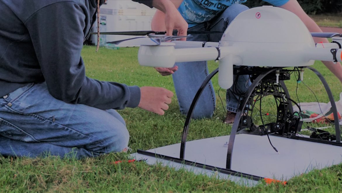
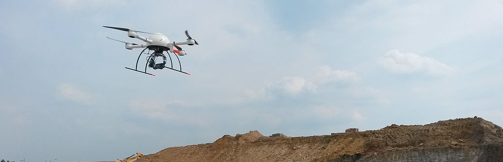
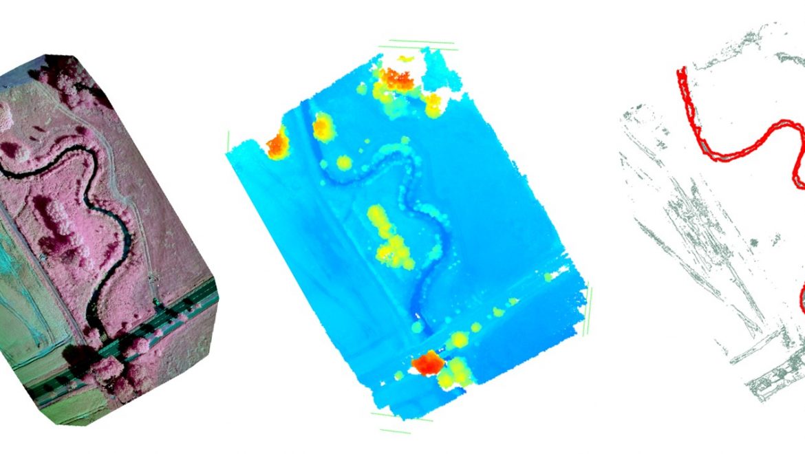
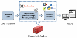
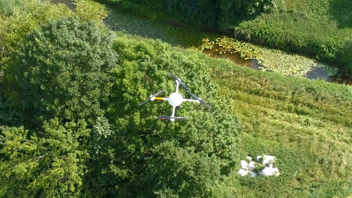
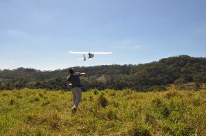
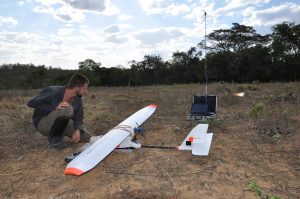
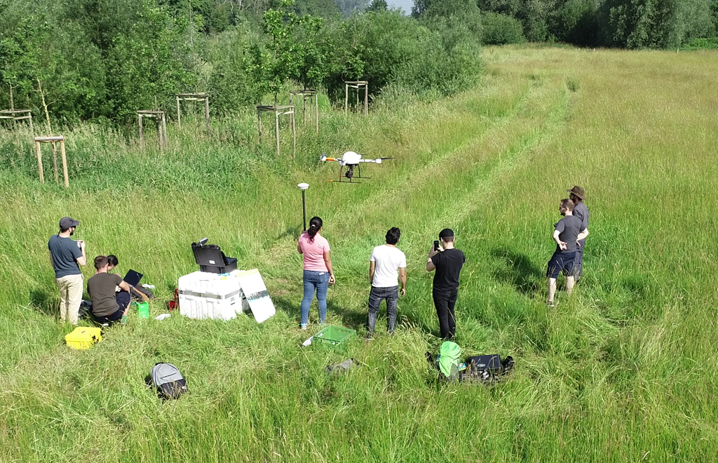
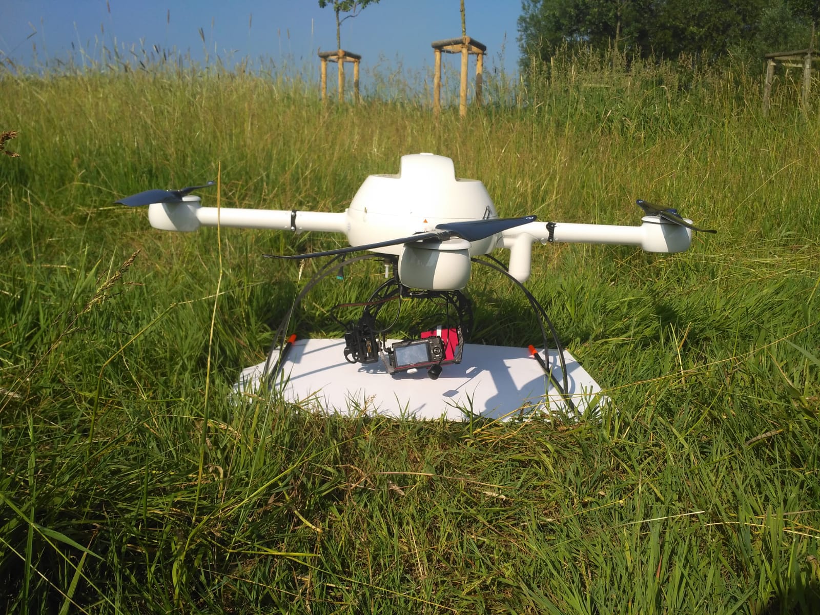
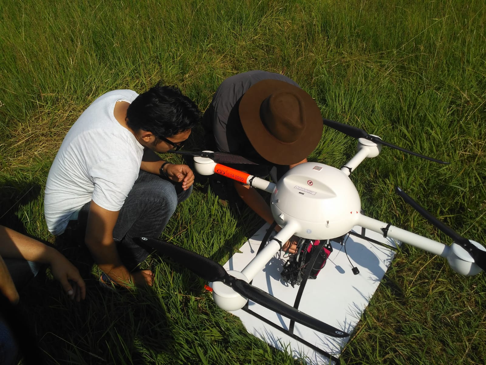
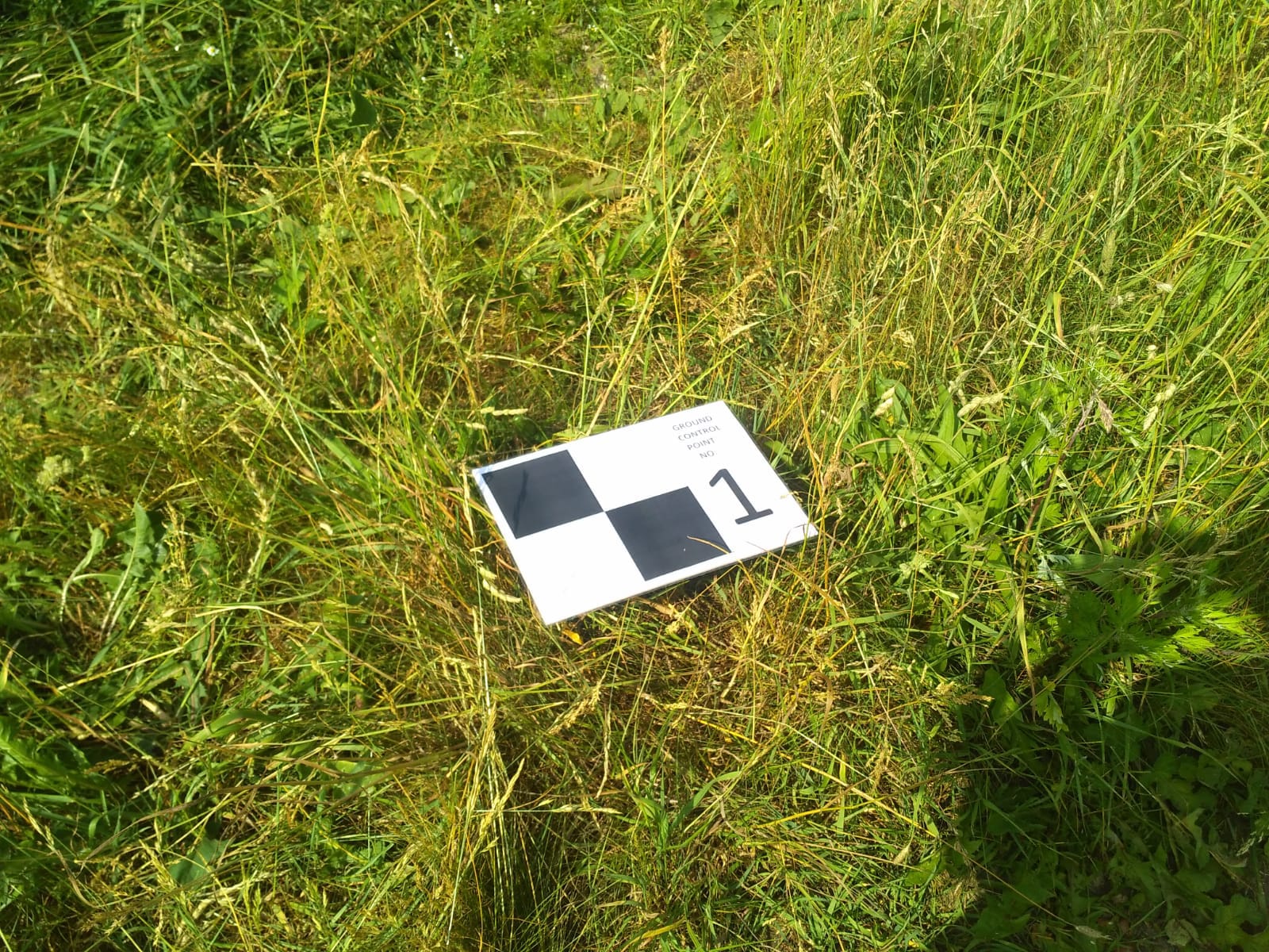
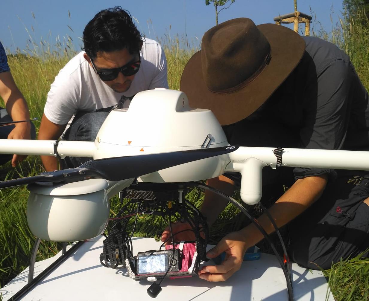
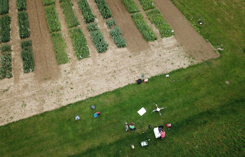
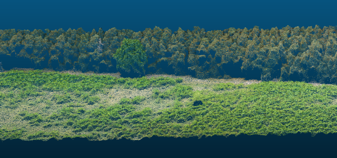
The results of the black locust study (click here for more information) were published in the MDPI Journal Forests. Overall, we could show that the three reproduction strategies of black locust in short rotation coppices differ with regards to initialization, intensity, and growth performance, but all play a role in the survival and spreading of black locust. Spreading was detected and measured with an unmanned aerial system (UAS)-based images and classification technology—object-based image analysis (OBIA). Additionally, the classification of single UAS images was tested by applying a convolutional neural network (CNN), a deep learning model.

For detailed information you can find the full publication here.

Teaching

New article published in MDPI Drones

Is it possible to detect traces of fluorescent powder from insects or small mammals using unmanned aerial systems?

This exciting question was asked by students in their project work (MSc landscape ecology), which took place during the summer semester 2017. The results of this pilot study have now been published in the international MDPI Journal Drones.

The publication is avaiable here


General

Geonetwork Münsterland conference on drones

As part of the Geonetwork Münsterland conference with the topic on drones, Dr. Jan Lehmann presented a talk on the potential applications of UAS-based remote sensing in ecology. More than 160 interested parties from business, administration and NGOs were present to discuss new potential applications. The Geonetwork Münsterland is an association of institutions and companies of the Münsterland in the field of geoinformation.

Teaching

Seminar: Processing and Analysis Workflows for UAS-Borne Spatial Data

This project seminar aimed at developing open and reproducible workflows for processing and analysis of very high-resolution imagery acquired by UAS. Participants explored the use of free and open source software (FOSS) and Docker technology to create workflows covering the complete processing chain of an ecological study from the raw data to the final analysis results. The experiments provided valuable insights into the potential but also the constraints of the applied tools.


FOSS-based workflow for processing & analysis of high-resolution UAS image data.

Teaching

Students develop new concept to support river monitoring programs

The integration of UAS-based remote sensing methods in existing river monitoring programs (e.g. water framework directive) can provide new prospects for large-scale monitoring purposes. However, until today the integration of small aerial systems has so far been poorly researched and accordingly presents an interesting research gap. In this course, the aim is to develop an innovative UAS-based concept for the monitoring of heavily modified rivers using the example of the Münstersche Aa. In addition to the elaboration of possible application scenarios (e.g. success control of restoration measures, river structure mapping, environmental monitoring), different UAS sensors and analysis methods are tested. The results will be presented in front of the Municipal Civil Engineering Office (City of Münster) in October 2018.


Projects

Restoration of iron mining areas in Brazil

As part of the DAAD biodiversity project “Research-based learning in neglected biodiverse ecosystems of Brazil”, the restoration of iron mining areas will be investigated with the help of high-resolution aerial imagery. A special focus is on biodiverse but endangered “Canga” ecosystems, which have so far been little studied. In spring 2018, we conducted our first UAS-flights in Brazil using a multispectral (red-green-NIR) and RGB camera. The collected image data will be used to assess the vegetation structure and species composition.

Skywalker 1900: Take-off for image data collection in Brazil.

Ground station with open-source Misson Planner software.


Teaching

UAS-Workshop ‘Geospatial Technologies’ with international student participants

During the summersemester 2018 the third international UAS-Workshop ‘Geospatial Technologies’ takes place, gathering more than 27 students out of 12 countries at the institute for Geoinformatics (IFGI) and the Institute of Landscape Ecology (ILÖK). All students are very enthusiastic and engaged in many activities around the project. The focus is set on geodata acquisition by UAS, low-cost LIDAR and ‘in situ’ field instrument for renaturation and monitoring issues along the river Aa, SW of Münster. The collected and analysed geodata will be fused and visualized in a cloud-/web-based geodata portal by the end of July 2018. Once again the WWU GEOCOPTER-team is in charge of administration.

Projects

First flights over experimental farms of the EU-project “DIVERSify”

In cooperation with the Animal ecology and multitrophic interactions lab one of several experimental sites within the EU-H2020 project “DIVERSify” (www.plant-teams.eu) was investigated using our MD4-1000 multicopter. The acquired RGB and CIR image data will be analyzed to estimate vegetative biomass of different crop species growing in monocultures and mixtures under different management intensities. A long-time aerial monitoring is planned for 2019.