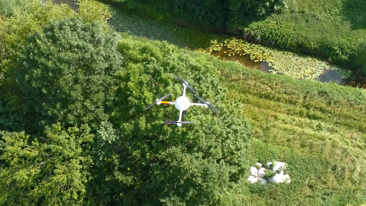
The integration of UAS-based remote sensing methods in existing river monitoring programs (e.g. water framework directive) can provide new prospects for large-scale monitoring purposes. However, until today the integration of small aerial systems has so far been poorly researched and accordingly presents an interesting research gap. In this course, the aim is to develop an innovative UAS-based concept for the monitoring of heavily modified rivers using the example of the Münstersche Aa. In addition to the elaboration of possible application scenarios (e.g. success control of restoration measures, river structure mapping, environmental monitoring), different UAS sensors and analysis methods are tested. The results will be presented in front of the Municipal Civil Engineering Office (City of Münster) in October 2018.