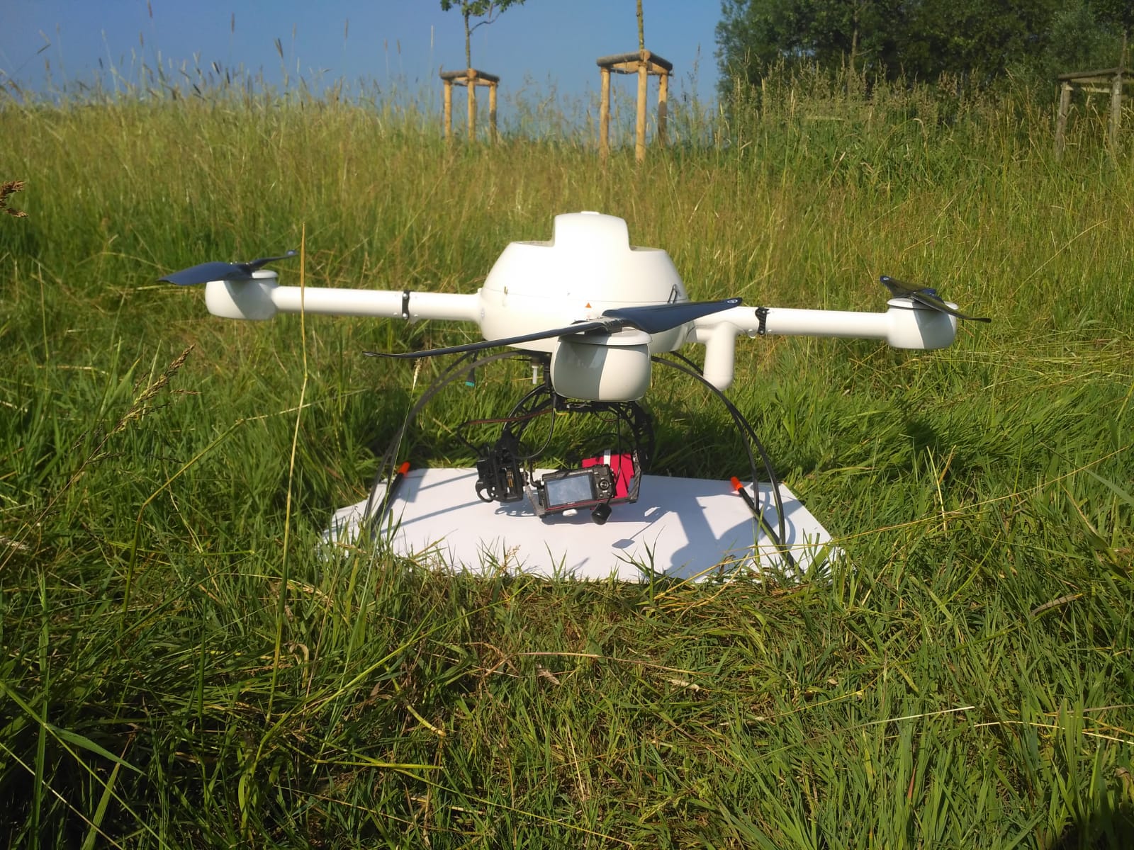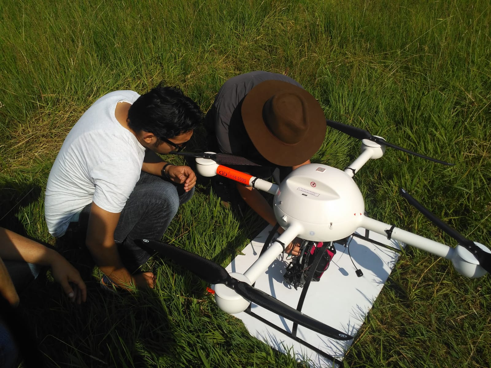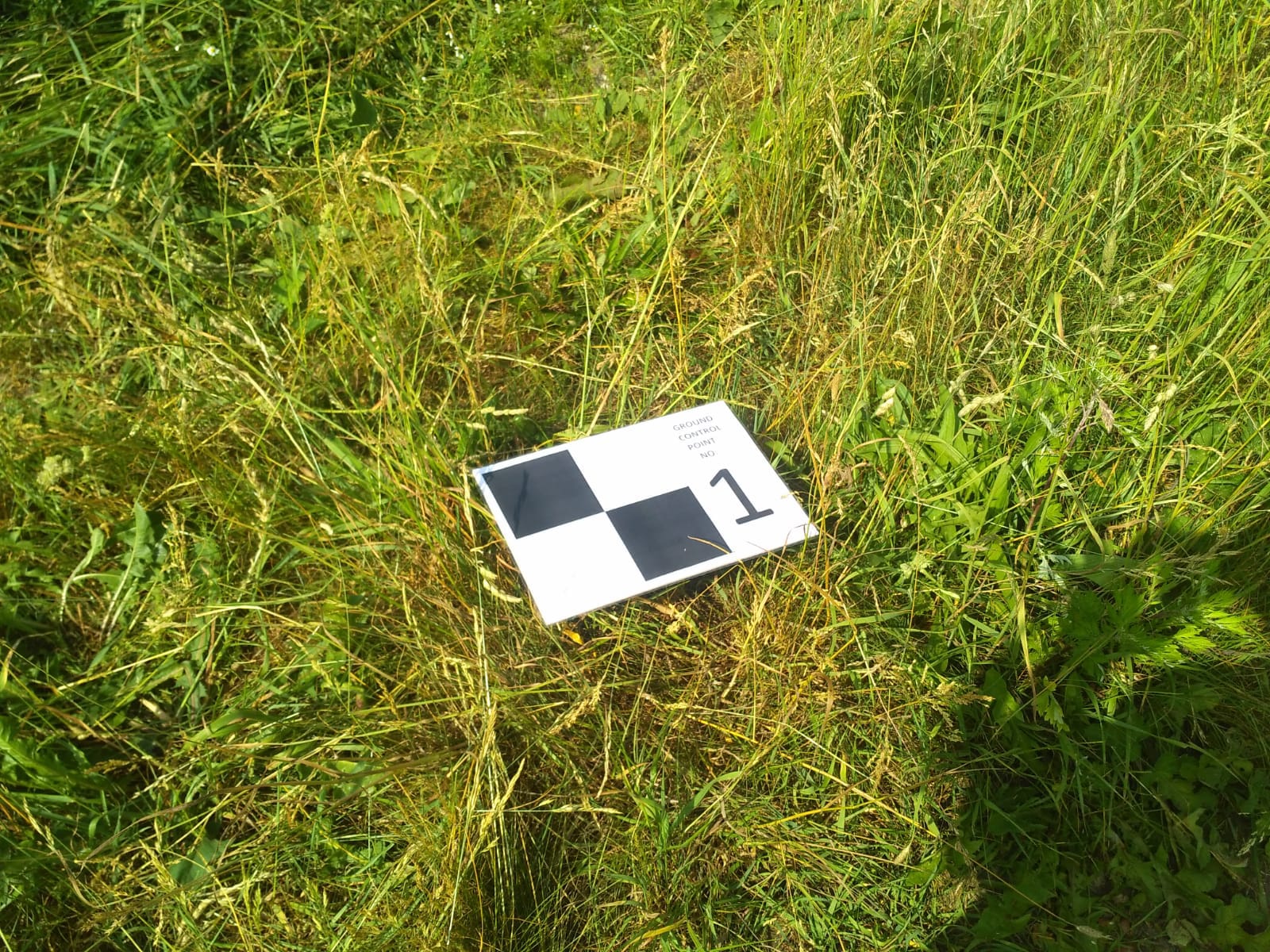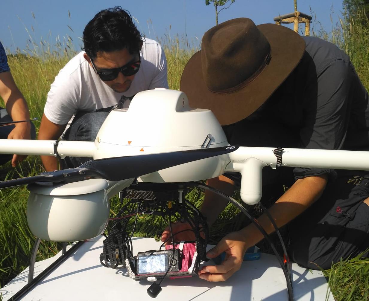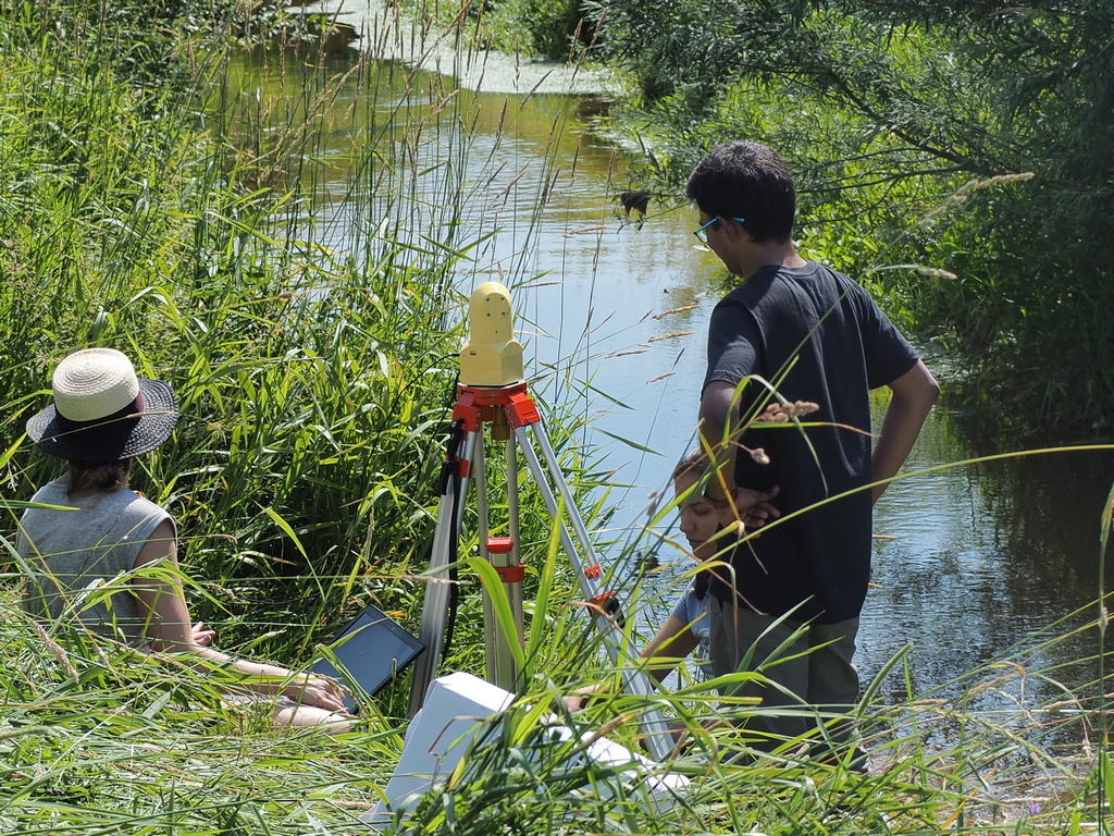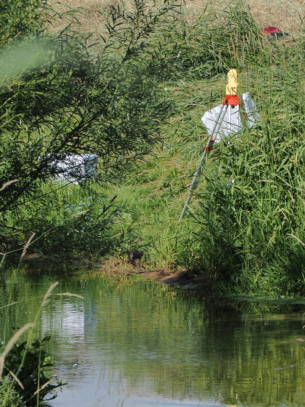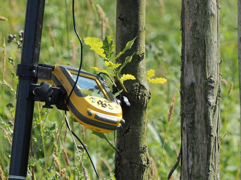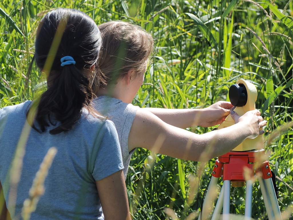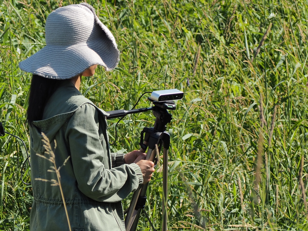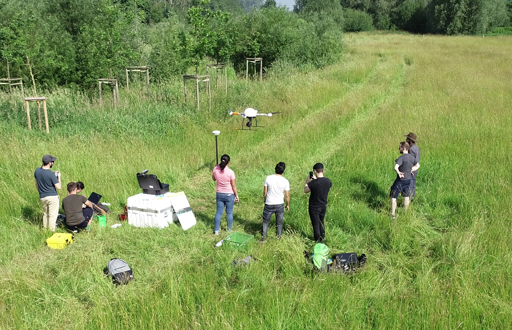
During the summersemester 2018 the third international UAS-Workshop ‘Geospatial Technologies’ takes place, gathering more than 27 students out of 12 countries at the institute for Geoinformatics (IFGI) and the Institute of Landscape Ecology (ILÖK). All students are very enthusiastic and engaged in many activities around the project. The focus is set on geodata acquisition by UAS, low-cost LIDAR and ‘in situ’ field instrument for renaturation and monitoring issues along the river Aa, SW of Münster. The collected and analysed geodata will be fused and visualized in a cloud-/web-based geodata portal by the end of July 2018. Once again the WWU GEOCOPTER-team is in charge of administration.