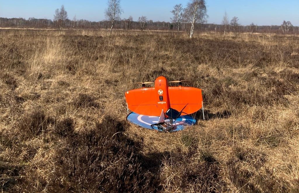
As part of the study project Amtsvenn the first UAS flight campaign was successfully conducted on the 3rd of March 2022. High-resolution multispectral and very high-resolution RGB imagery was collected with the WingtraOne. The campaign was supervised by the “Biologische Station Zwillbrock e.V.” to survey the low disturbance of the UAS on wildlife and no disturbances were observed.
The study project investigates how UAS imagery can be used to detect and spatially model the humidity and vitality of bog vegetation. For ground truth, humidity and temperature are measured in a measurement setup developed by the students, representing different gradients (elevation, vegetation, degradation) of the bog.
This study projects follows the ongoing research in the Vechta bogs and kicks off the in April 2022 starting “Reversal Project”.
There are many research project, bachelor and master thesis topics for students interested in remote sensing and spatial modelling in bog ecosystems. If interested, please contact Jan Lehmann, Hanna Meyer and Laura Giese.


