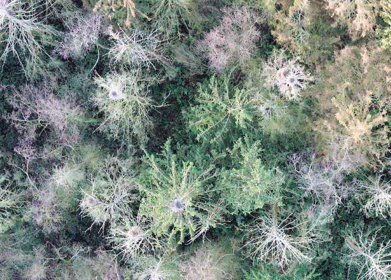
As part of the current winter semester course “Principles of drone-based remote sensing”, a survey of a closed-by forest was carried out using our Wingtra drone. The idea behind the image data acquisition is to count the bird nests of Grey Herons using VHR aerial photography, as an accurate estiamtion from the ground is only feasible to a limited extent. The students in the course will learn about data processing and analysis using this data set.