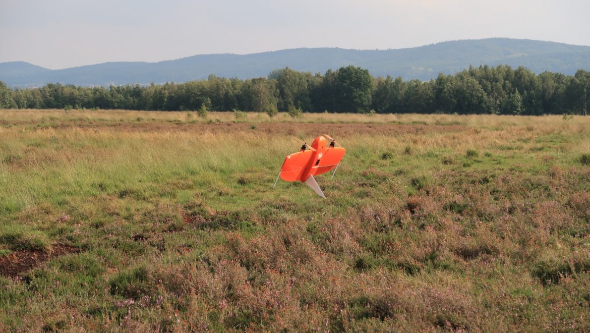
In cooperation with the LANUV, our student and drone pilot Jan-Patrick Bollow deployed our WingtraOne to collect multispectral image data in a large bog ecosystem. The aim of the project is to generate objectively comprehensible geometric demarcations in order to distinguish the occurring biotope types. The resulting orthomosaic is covering more than 200ha with a GSD of around 7 cm.
WingtraOne after vertical Take-Off
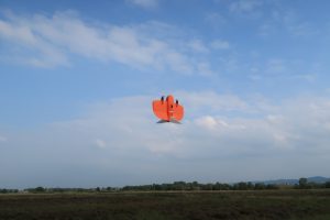
Ready-to-go…
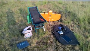
Office of a drone pilot
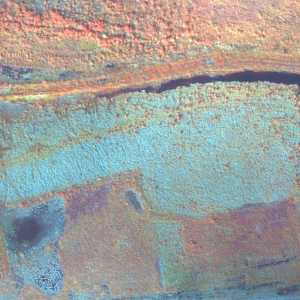
Image section of the resulting multispectral orthomosaic (green, blue and nir channel with standard deviation)