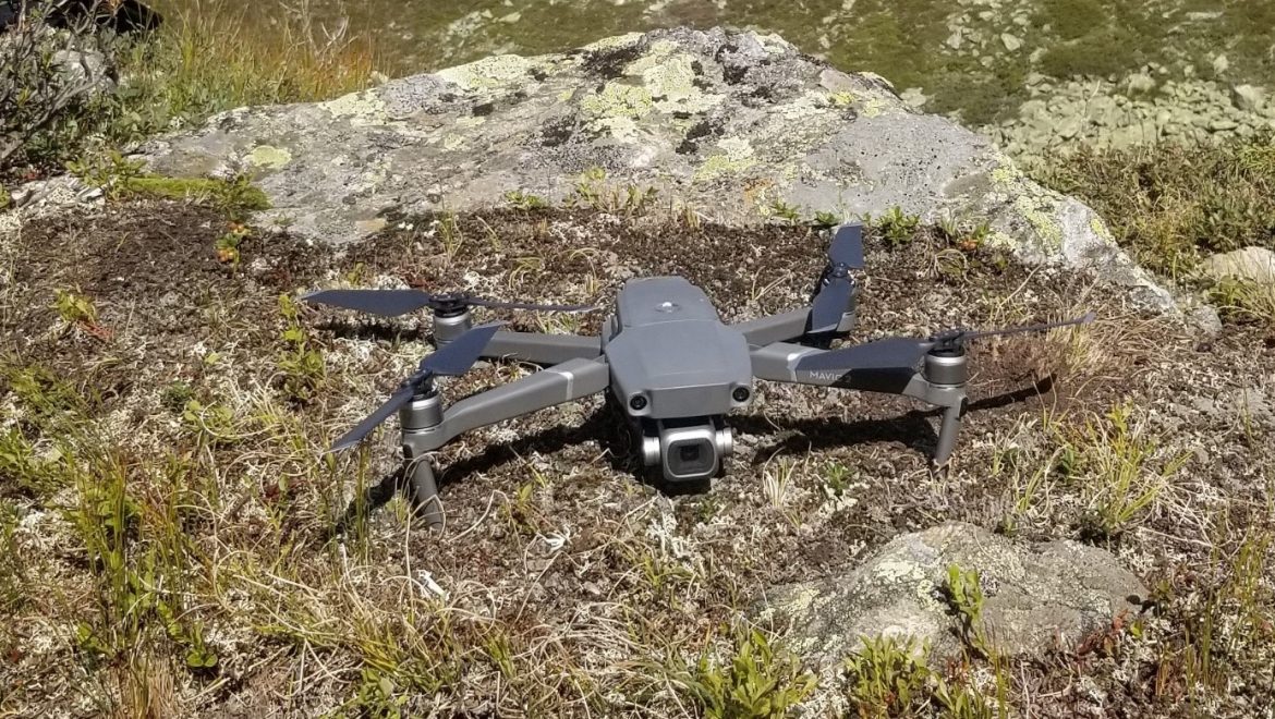
As of last week, we have began research dealing with glacier mapping and monitoring focuesed on a rock glacier in Kaunertal, Ötztal Alps, Austria. The work will be apart of the Master’s thesis of Jordan Bates, an Erasmus Mundus MSc. in Geopsatial Technologies student. Currently the rock glacier is being mapped with Unmanned Aircraft Systems (UAS) and Terrestrial Laser Scanners (TLS) inorder to combine the two data collection means to supplement their individual strengths. The TLS data will provide a more precise measurement with LiDAR along with a view from underneath the face of the glacier and the UAS data will provide a better overall picture from the air with photogrammetry techniques from optically collected data. It is planned that joining these two datasets will create a more complete and accurate depiction of the glacier than more traditional methodologies. This data will then be compared to previous data collections to measure and track its movement.
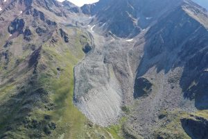
Aerial view of the rock glacier in Kauntertal, Austria that is being observed in this study
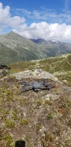
Because of its size, easy set up, and sensor quality, the Mavic 2 Pro is the the sUAS of choice for this work that includes hikes to the top of an alp.
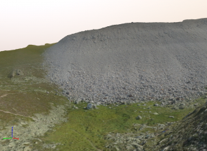
Initial processing of the 3D model and in view is the face/front of the rock glacier

