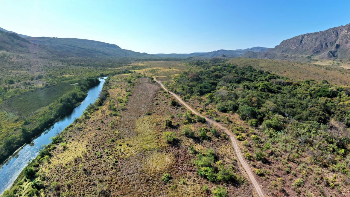
As part of a master’s thesis, we used our DJI Mavic 2 to map invasive grass patches in the Serra do Cipo National Park. During the flights windy and strong thermal conditions occurred. Nevertheless, we were able to successfully fly over five areas with different levels of invasion. The data will be used as ground truthing to scale up to the entire national park with the help of satellite data.
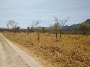
The studied invasive grass species (yellow)
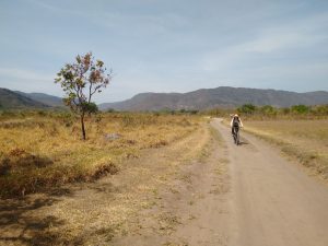
Going to collect drone image data by bicycle
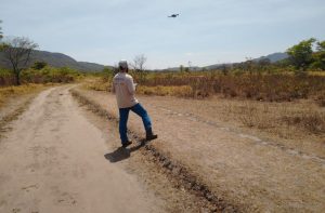
Image data collection using our Mavic 2 drone.
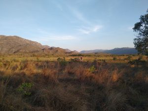
Beautiful working conditions in the Serra do Cipo Nationalpark