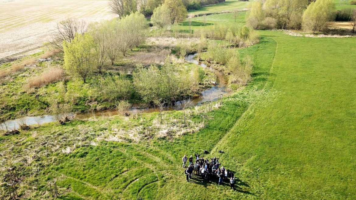
The new summer semester has started and therefore our drones are used in different projects and field courses. In this year’s UAS course in the international Master’s program (Master of Science, M.Sc.) in Geospatial Technologies, different sensors will be used to monitor the renaturation of a small river stream near by Münster. The students will work in the following groups:
1. Image Analysis
2. OpenDroneMap and QGIS workflow
3. SenseBox
4. Sensors and platforms
5. Web portal
6. ESRI cloud services
7. Project management
We are looking forward to an exciting project.